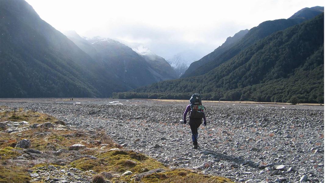
Carrington Hut Route
TrackCanterburyDOC data as at 20 September 2026
About this place
This route up the braided riverbed of the Waimakariri leads to a comfortable hut situated below the park’s highest peaks. Carrington Hut is a good base for exploring the upper Waimakariri catchment.
Nearby stops
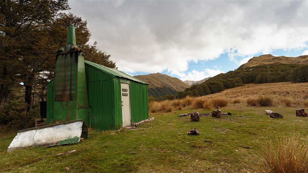
Bealey Spur Hut
Basic/bivvies • 6 bunks • Canterbury • 6.2 km
Heating • Toilets - non-flush • Water from tap - not treated
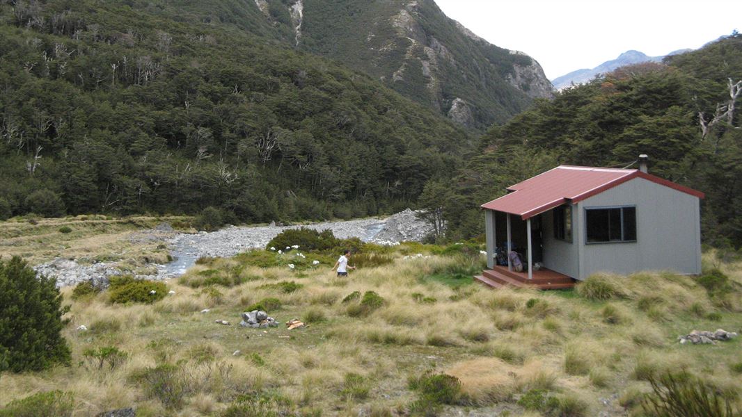
Crow Hut
Standard • 10 bunks • Canterbury • 6.3 km
Heating • Mattresses • Toilets - non-flush
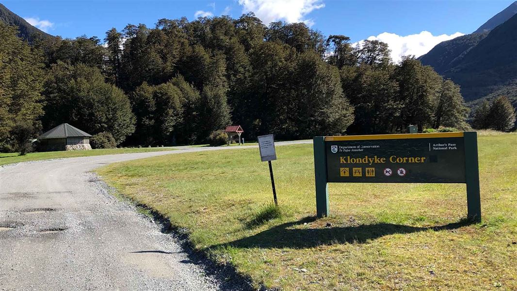
Klondyke Corner Campsite
Standard • Canterbury • 6.4 km
Non-powered/tent sites • Shelter for cooking • Water from tap - not treated
Greyneys
Canterbury • 6.7 km
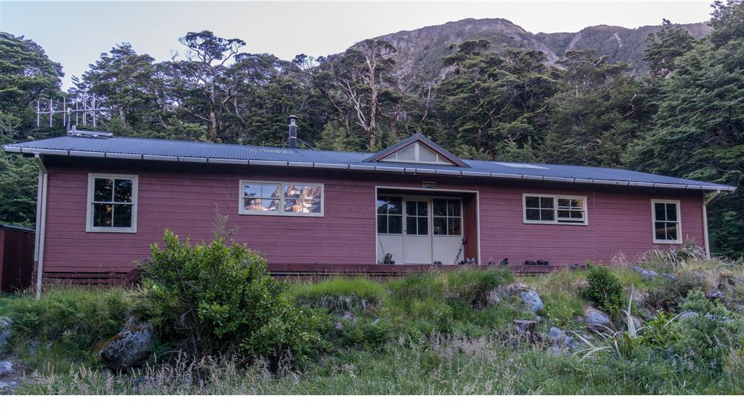
Carrington Hut
Serviced • 36 bunks • Canterbury • 6.8 km
Heating • Mattresses • Toilets - non-flush
All details
- Dogs
- No dogs. Other pets on conservation land rules.
- Track type
- Expert
- Walking time
- 4-6 hr to Carrington Hut one way
- Distance
- 12.3 km to Carrington Hut
- Website
- This place on doc.govt.nz
- Source data
- View source data
Map
Map data © OpenStreetMap contributors.42.99965° S, 171.51103° E
Something not right?
Closed, moved, wrong facts, or you know something we do not. Change only what you know is wrong or missing; a person checks it before it goes live. Or email us about this place.
Sources
- OpenStreetMap Trails · ODbL (Open Database License)Contains information from OpenStreetMap, made available under the ODbL.
- DOC Tracks (API) · CC BY 4.0Crown Copyright: Department of Conservation Te Papa Atawhai. Data sourced from the DOC Developer Portal (api.doc.govt.nz).