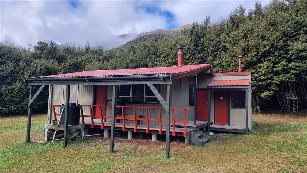
Christopher Hut
Serviced hutSt James Conservation Area, CanterburyDOC data as at 20 September 2026
About this place
This is a serviced 14-bunk hut in the St James Conservation Area.
Know before you go
Weather forecast
Christopher Hut weather forecast – NIWA website
Firewood
Firewood is supplied at this hut, but it can run out. If there is no firewood, gather dead wood from surrounding forests. Do not fell or break branches off live trees. Only use as much wood as is needed to keep the hut warm, to ensure there is enough for the next visitors. Carry warm clothing and a good sleeping bag at all times of year.
Source: DOC Te Papa Atawhai.
Trip options
Walking times computed leg by leg from DOC track descriptions, from car-accessible trailheads.
8 options · 2 to 6 nights
the Lewis Pass picnic area
Tracks used: St James Walkway → Waiau Pass Route (Blue Lake Route to Lewis Pass)
Walking in
9 hr 30 min (via Cannibal Gorge Hut, Ada Pass Hut)
Walking out
6 hr to Cannibal Gorge Hut (via Ada Pass Hut)
Walking in
9 hr 30 min (via Cannibal Gorge Hut, Ada Pass Hut)
Walking out
9 hr 30 min to the Lewis Pass picnic area (via Cannibal Gorge Hut, Ada Pass Hut)
Walking in
9 hr 30 min (via Cannibal Gorge Hut, Ada Pass Hut)
Walking out
17 hr to the Boyle shelter (via Anne Hut, Boyle Flat Hut)
Tracks used: St James Walkway → Waiau Pass Route (Blue Lake Route to Lewis Pass)
Walking in
9 hr 30 min (via Cannibal Gorge Hut, Ada Pass Hut)
Walking out
18 hr 30 min to Blue Lake Hut (via Waiau Hut)
Cannibal Gorge Hut
Tracks used: St James Walkway → Waiau Pass Route (Blue Lake Route to Lewis Pass)
Walking in
6 hr (via Ada Pass Hut)
Walking out
9 hr 30 min to the Lewis Pass picnic area (via Cannibal Gorge Hut, Ada Pass Hut)
Blue Lake Hut
Walking in
18 hr 30 min (via Waiau Hut)
Walking out
6 hr to Cannibal Gorge Hut (via Ada Pass Hut)
Tracks used: St James Walkway → Waiau Pass Route (Blue Lake Route to Lewis Pass)
Walking in
18 hr 30 min (via Waiau Hut)
Walking out
17 hr to the Boyle shelter (via Anne Hut, Boyle Flat Hut)
Walking in
18 hr 30 min (via Waiau Hut)
Walking out
18 hr 30 min to Blue Lake Hut (via Waiau Hut)
Source: DOC Te Papa Atawhai track descriptions.
Fees and bookings
1 May - 30 September
1 October - 30 April
Weekdays
Weekends
1 December - 29 February
Weekdays
Weekends
Backcountry Hut Passes can be used at this hut. About hut tickets and passes Retailers that sell hut tickets and passes Te Araroa – The Trail Pass Te Araroa Trail Pass Before you go, buy Hut Tickets for each night's stay. Put this in the honesty box at the hut. Or buy a Backcountry Hut Pass or Campsite Pass. About hut tickets and passes About campsite passes Retailers that sell hut tickets and passes
Bookings are open for stays up to 30 June 2027. If no availability shows online for your dates, the hut is fully booked. No spaces are kept for visitors arriving without a booking. Phone and in‑person bookings made at a visitor centre incur a $10 service fee. Same‑day bookings are available online until 8 pm if spaces remain. Book Christopher Hut online
Source: DOC Te Papa Atawhai.
Getting there
- Topo map
- Topo50 sheet BT23
Source: DOC Te Papa Atawhai.
On these tracks
Source: DOC Te Papa Atawhai.
Contact
Arthur's Pass National Park Visitor Centre
104 West Coast Road, Arthur's Pass 7654
Regional DOC service centre.
Nearby stops
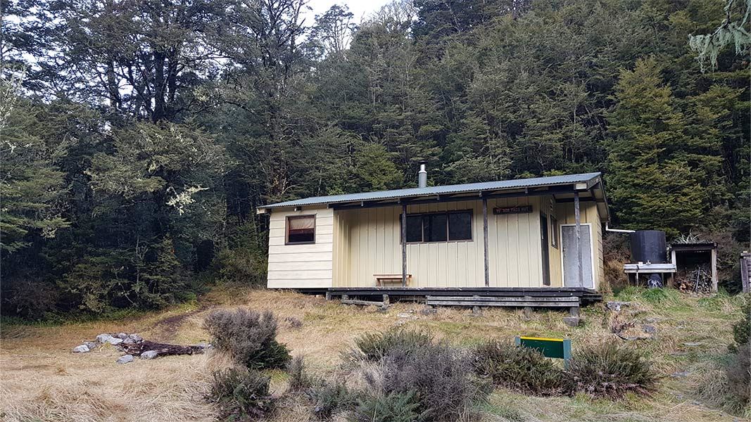
Ada Pass Hut
Serviced • 14 bunks • West Coast • 9 km
Heating • Mattresses • Toilets - non-flush
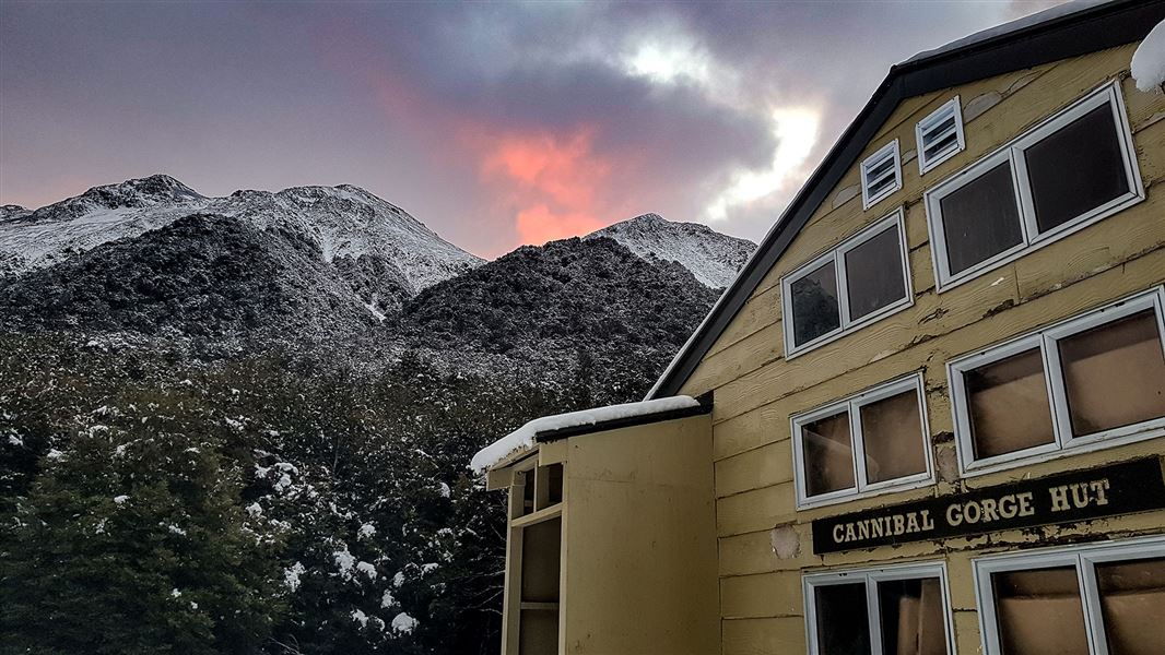
Cannibal Gorge Hut
Serviced • 20 bunks • West Coast • 11.9 km
Heating • Mattresses • Toilets - non-flush
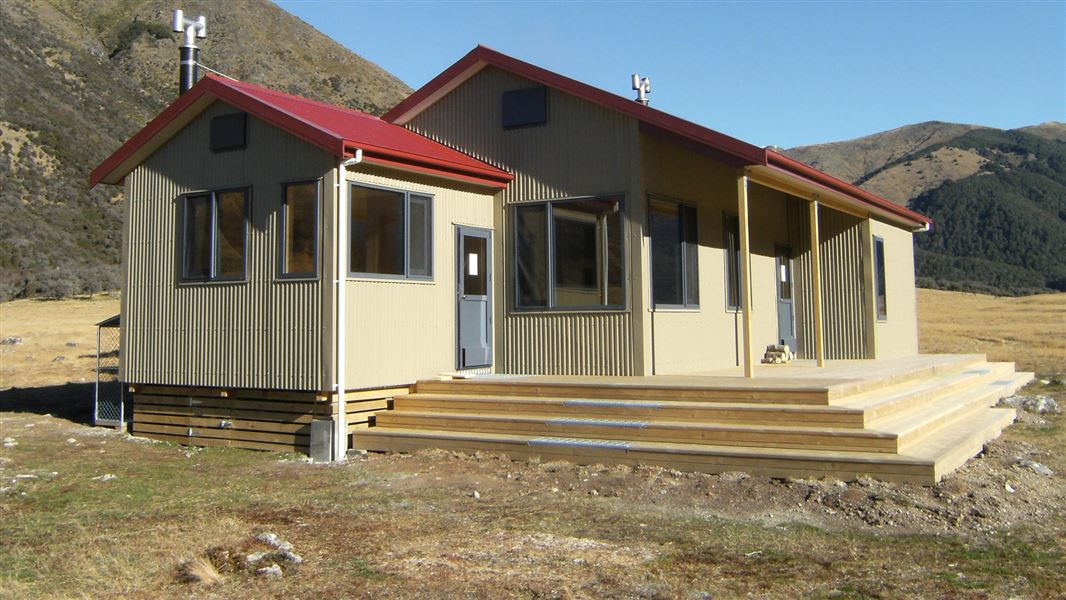
Anne Hut
Serviced • 20 bunks • Canterbury • 7.6 km
Heating • Mattresses • Toilets - non-flush
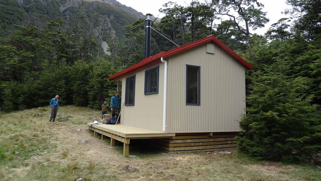
Waiau Hut
Standard • 6 bunks • Canterbury • 14.4 km
Heating • Mattresses • Toilets - non-flush
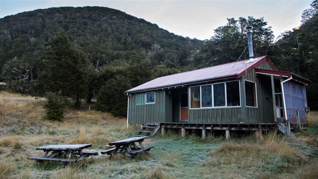
Boyle Flat Hut
Serviced • 12 bunks • Canterbury • 21.6 km
Heating • Mattresses • Toilets - non-flush
All details
- Facilities
- HeatingMattressesToilets - non-flushWater from tap - not treatedboil before useWater supply
- Bookable
- Yes
- Category
- Serviced
- Location
- St James Conservation Area
- Fireplace
- Yes
- Mattress
- Yes
- Capacity
- 14
- Toilets
- Yes
- Drinking water
- untreated
- Reservations
- No
- Website
- This place on doc.govt.nz
- Source data
- View source data
Map and tracks
Track lines: DOC Te Papa Atawhai. Map data © OpenStreetMap contributors.42.28850° S, 172.56503° E
Something not right?
Closed, moved, wrong facts, or you know something we do not. Change only what you know is wrong or missing; a person checks it before it goes live. Or email us about this place.
Sources
- DOC Huts (API) · CC BY 4.0Crown Copyright: Department of Conservation Te Papa Atawhai. Data sourced from the DOC Developer Portal (api.doc.govt.nz).
- DOC Huts · CC BY 4.0Data sourced from the Department of Conservation (DOC), New Zealand.
- OpenStreetMap Huts · ODbL (Open Database License)Contains information from OpenStreetMap, made available under the ODbL.