Daleys Flat Campsite
Backcountry campsiteLocated in Mount Aspiring National Park, OtagoDOC data as at 20 September 2026
Current advisories
Rees Dart Track huts and campsites open for bookings
26 August 2026
Huts and campsites on the Rees Dart Track open for bookings on 1 October 2026 for stays from 21 November 2026. First published on 27 August 2026.
Upper Snowy Creek bridge removed
17 May 2026
The upper Snowy Creek bridge has been removed from the Rees-Dart Track for winter 2026. Walking the track now involves a dangerous river crossing. The bridge is usually reinstalled mid to late November depending on avalanche conditions. First published on 18 May 2026.
Source: DOC Te Papa Atawhai alerts.
About this place
This backcountry campsite is located outside Daleys Flat Hut.
Fees and bookings
DOC Campsite Pass Campsite Pass bookings must be booked online before occupying a site. If you do not book, bookings may be made by campground staff (if present) and will incur a $10 service charge. Sites may not be available if you do not book.
Book Daleys Flat Campsite
Source: DOC Te Papa Atawhai.
Getting there
- Topo map
- Topo50 sheet CA10
- Grid reference
- E1232582, N5056824
Source: DOC Te Papa Atawhai.
Contact
Whakatipu-wai-Māori/Queenstown Visitor Centre
Regional DOC service centre.
Nearby stops
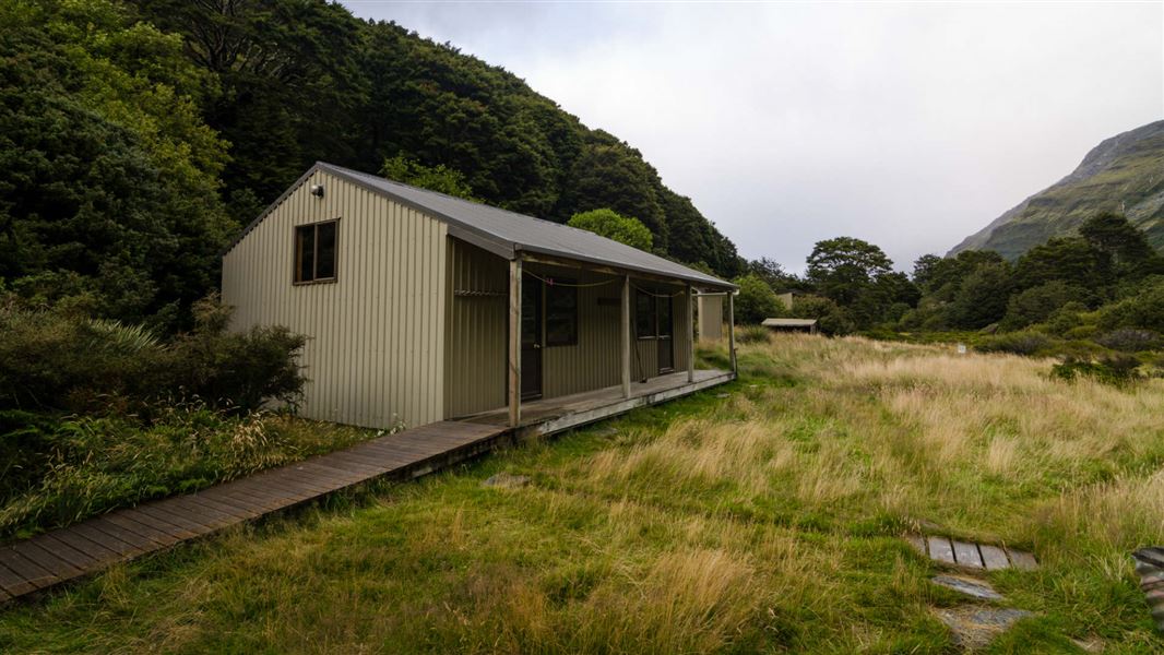
Shelter Rock Hut
Serviced • 22 bunks • Otago • 10.7 km
Heating • Mattresses • Toilets - flush
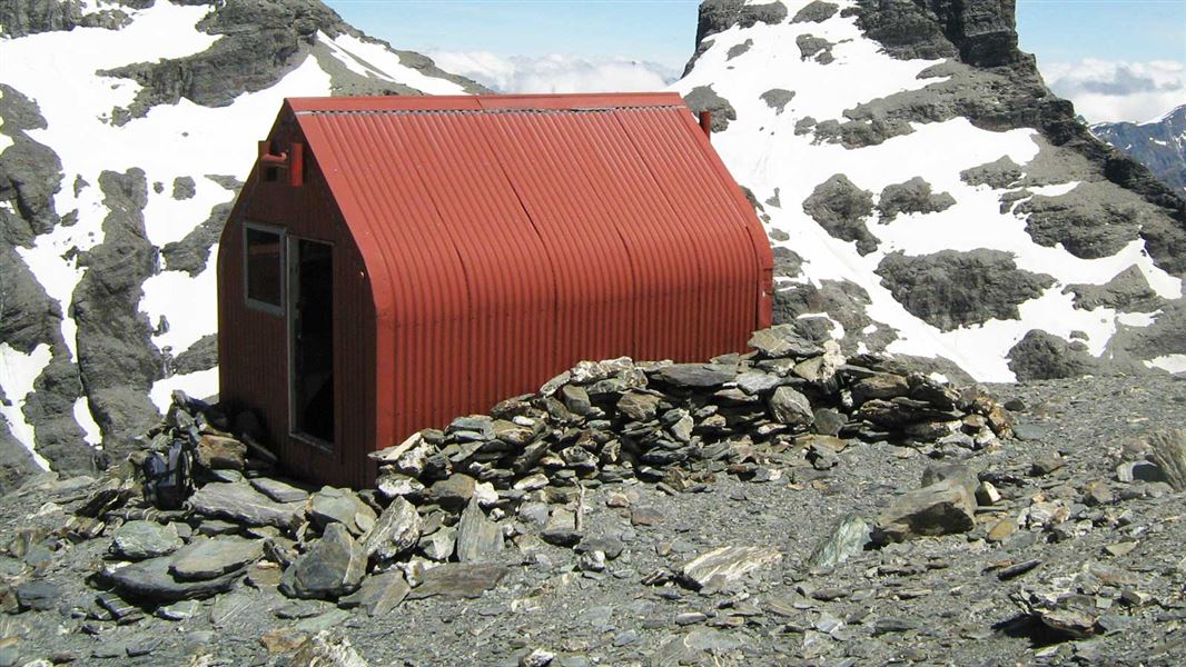
Esquilant Bivvy Hut
Basic/bivvies • 6 bunks • Otago • 7.9 km
Mattresses
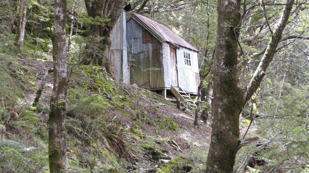
Earnslaw Hut
Basic/bivvies • 4 bunks • Otago • 10.1 km
Heating • Toilets - non-flush • Water from stream
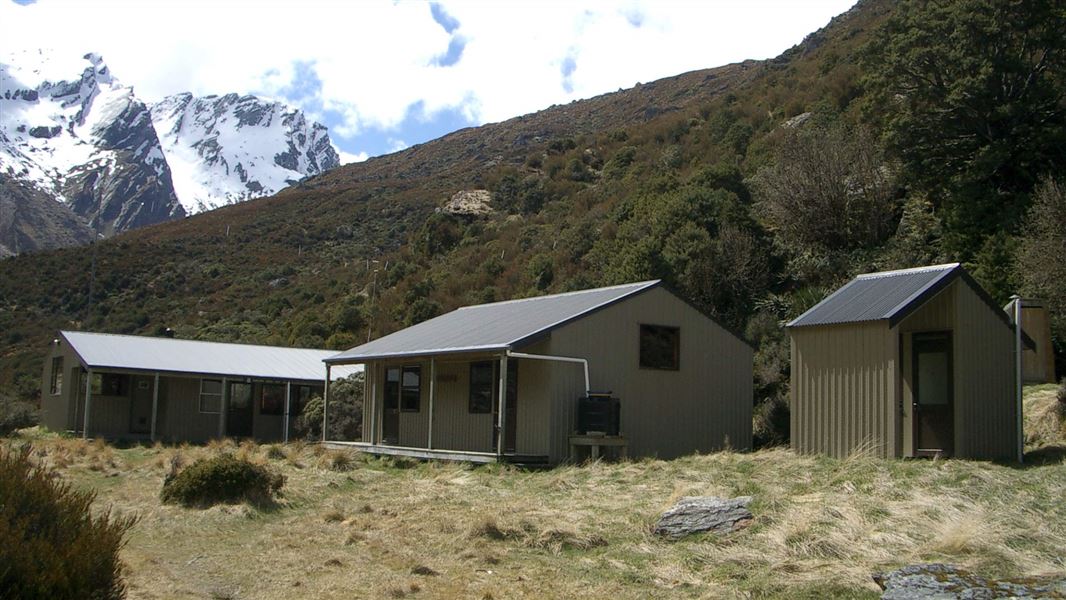
Shelter Rock Campsite
Backcountry • Otago • 10.7 km
['Toilets - flush' • 'Water from tap - not treated • boil before use'
Twenty Five Mile Hut (dismantled)
Otago • 12.8 km
All details
- Facilities
- ['Water from tap - not treatedboil before use''Toilets - non-flush''Toilets''Water supply']
- Activities
- ['Walking and tramping']
- Access
- ['Foot']
- Setting
- ['Alpine']
- Bookable
- Yes
- Category
- Backcountry
- Dogs
- No dogs. Other pets on conservation land rules.
- Location
- Located in Mount Aspiring National Park
- Source data
- View source data
Map and tracks
Track lines: DOC Te Papa Atawhai. Map data © OpenStreetMap contributors.44.54823° S, 168.37447° E
Something not right?
Closed, moved, wrong facts, or you know something we do not. Change only what you know is wrong or missing; a person checks it before it goes live. Or email us about this place.
Sources
- DOC Campsites (API) · CC BY 4.0Crown Copyright: Department of Conservation Te Papa Atawhai. Data sourced from the DOC Developer Portal (api.doc.govt.nz).