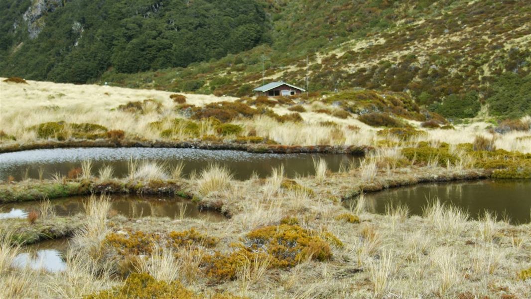
Edwards Hut
Serviced hutArthur's Pass National Park, CanterburyDOC data as at 20 September 2026
About this place
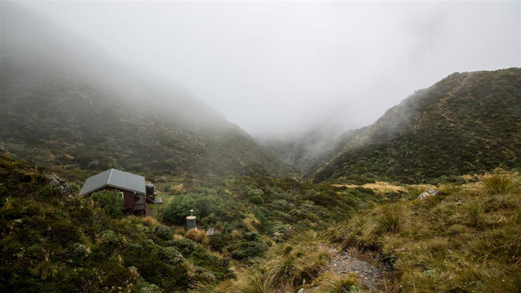
This is a serviced 16-bunk hut in the North Canterbury and Arthur's Pass area.
Know before you go
Plan for river crossings
There are numerous river crossings along this route. Do not attempt this track during and after heavy rainfall. Rivers and major side streams can rise quickly and become dangerous. Ensure you have the latest weather information and that you are confident in assessing rivers and know how to cross them safely. How to cross rivers safely - Mountain Safety Council website DOC markers may not indicate the safest crossing point. You may need to walk upstream or downstream to find a more suitable place to cross. If travelling this route during rainy weather take spare food in case you are stuck in the hut by rising river levels.
Source: DOC Te Papa Atawhai.
Trip options
Walking times computed leg by leg from DOC track descriptions, from car-accessible trailheads.
5 options · 1 to 4 nights
SH73
Walking in
5 hr
Walking out
5 hr to SH73
Walking in
5 hr
Walking out
5 hr to SH73
Tracks used: Edwards - Hawdon Route → Otehake River Route
Walking in
5 hr
Walking out
5 hr to SH73
Tracks used: Edwards - Hawdon Route → Otehake River Route
Walking in
5 hr
Walking out
21 hr to Hawdon Shelter (via Hawdon Hut)
Walking in
5 hr
Walking out
21 hr to Hawdon Shelter (via Hawdon Hut)
Source: DOC Te Papa Atawhai track descriptions.
Fees and bookings
1 May - 30 September
1 October - 30 April
Weekdays
Weekends
1 December - 29 February
Weekdays
Weekends
Bookings are open for stays up to 30 June 2027. If no availability shows online for your dates, the hut is fully booked. No spaces are kept for visitors arriving without a booking. Phone and in‑person bookings made at a visitor centre incur a $10 service fee. Same‑day bookings are available online until 8 pm if spaces remain.
Source: DOC Te Papa Atawhai.
Getting there
- Topo map
- Topo50 sheet BV20
Source: DOC Te Papa Atawhai.
On these tracks
Source: DOC Te Papa Atawhai.
Contact
Arthur's Pass National Park Visitor Centre
104 West Coast Road, Arthur's Pass 7654
Regional DOC service centre.
Nearby stops
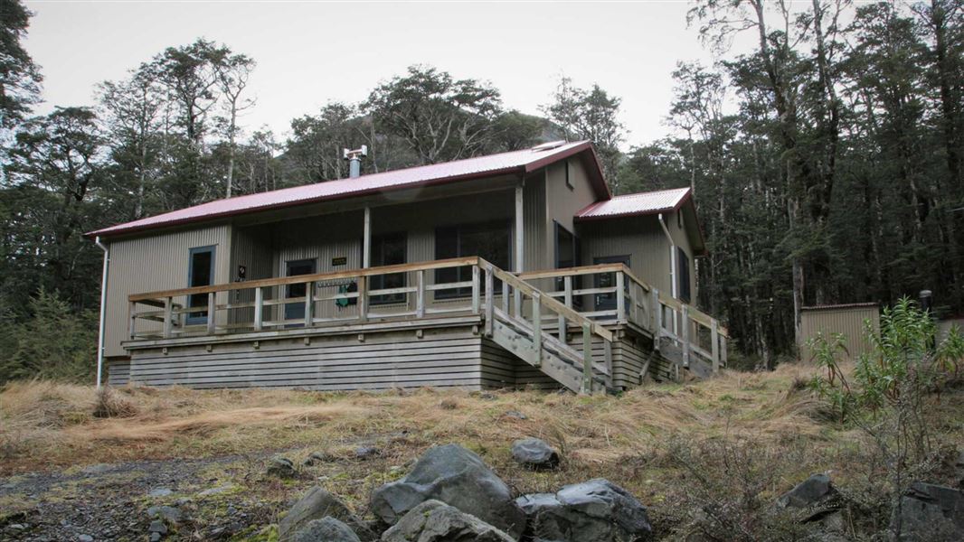
Hawdon Hut
Serviced • 20 bunks • Canterbury • 7.8 km
Heating • Mattresses • Toilets - non-flush
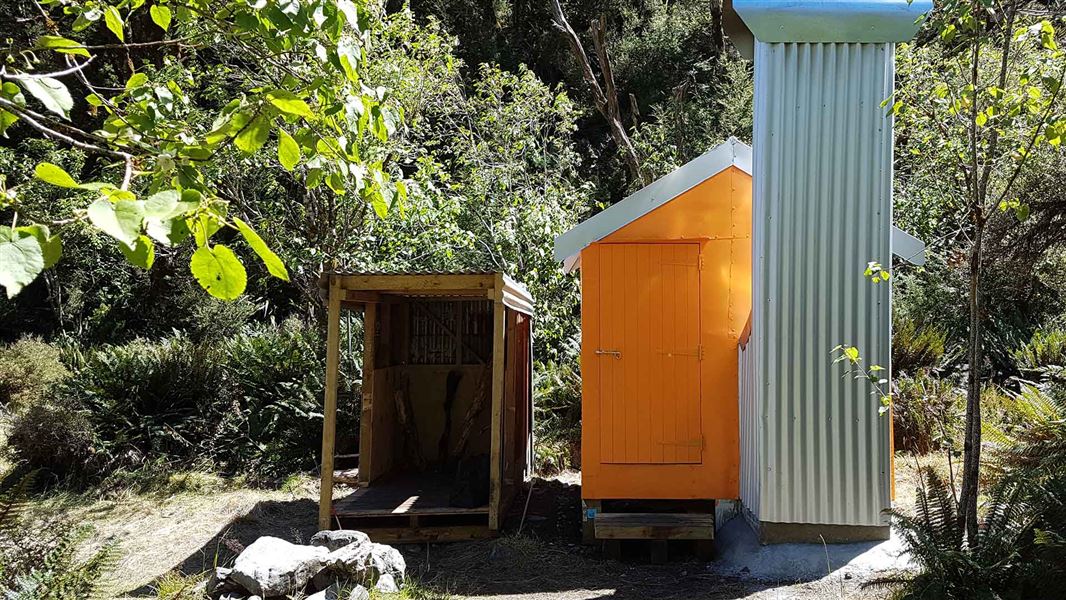
Mingha Bivvy
Basic/bivvies • 2 bunks • Canterbury • 2.6 km
Heating • Mattresses • Toilets - non-flush
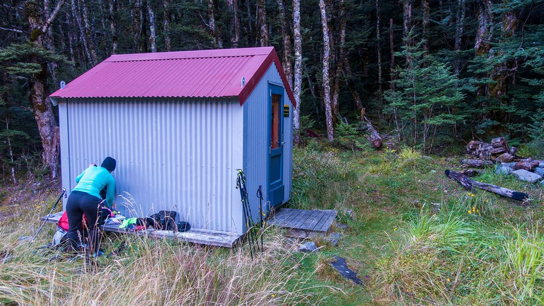
Sudden Valley Bivvy
Basic/bivvies • 2 bunks • Canterbury • 4.7 km
Mattresses • Toilets - non-flush • Water from stream
Goat Pass Hut
Standard • 20 bunks • Canterbury • 4.9 km
Mattresses • Toilets - non-flush • Water from tap - not treated
Greyneys
Canterbury • 6.5 km
All details
- Facilities
- HeatingMattressesToilets - non-flushWater from tap - not treatedboil before useWater supply
- Bookable
- Yes
- Category
- Serviced
- Location
- Arthur's Pass National Park
- Fireplace
- Yes
- Mattress
- Yes
- Capacity
- 16
- Toilets
- Yes
- Drinking water
- untreated
- Reservations
- No
- Website
- This place on doc.govt.nz
- Source data
- View source data
Map and tracks
Track lines: DOC Te Papa Atawhai. Map data © OpenStreetMap contributors.42.94260° S, 171.64711° E
Something not right?
Closed, moved, wrong facts, or you know something we do not. Change only what you know is wrong or missing; a person checks it before it goes live. Or email us about this place.
Sources
- OpenStreetMap Huts · ODbL (Open Database License)Contains information from OpenStreetMap, made available under the ODbL.
- DOC Huts (API) · CC BY 4.0Crown Copyright: Department of Conservation Te Papa Atawhai. Data sourced from the DOC Developer Portal (api.doc.govt.nz).
- DOC Huts · CC BY 4.0Data sourced from the Department of Conservation (DOC), New Zealand.