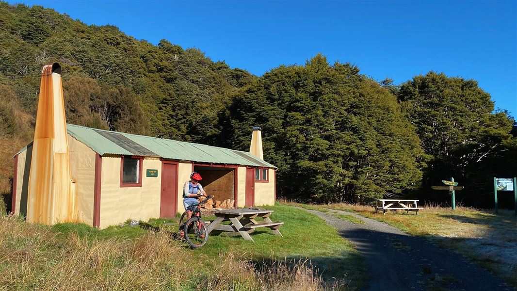
Flora Hut
Basic/bivvies hutKahurangi National Park, Nelson/TasmanDOC data as at 20 September 2026
Current advisories
Limited access to Flora car park up Graham Valley Road
14 July 2026
Access to Flora car park up Graham Valley Road is open but a 4WD vehicle is required as the surface is very slippery. First published on 13 July 2025. Last reviewed on 15 July 2026.
Predator control in Cobb area of Kahurangi National Park
30 June 2026
A predator control operation using toxic bait containing 1080 was completed on 1 July 2026. The Cobb area of Kahurangi National Park is open. See the pesticide summary map for the operation area. There may be toxic carcasses and bait (green coloured pellets) in the area. It's not safe to hunt for food in this area for up to 8 months. Warning signs and this web alert will be removed when the area is safe again. This operation is part of DOC's National Predator Control Programme to protect native species. First published on 15 May 2026. Last reviewed on 1 July 2026.
Source: DOC Te Papa Atawhai alerts.
About this place
Flora Hut is a short, easy walk from the road end making it a good overnight tramp for families with children.
Fees and bookings
Free
Source: DOC Te Papa Atawhai.
Getting there
- Topo map
- Topo50 sheet BQ24
- Grid reference
- E1577323, N5440895
Source: DOC Te Papa Atawhai.
On these tracks
Source: DOC Te Papa Atawhai.
Contact
Nelson/Tasman/Marlborough information
Regional DOC service centre.
Nearby stops
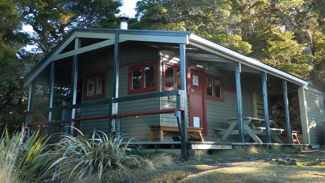
Mt Arthur Hut
Serviced • 8 bunks • Nelson/Tasman • 2.1 km
Heating • Mattresses • Toilets - non-flush
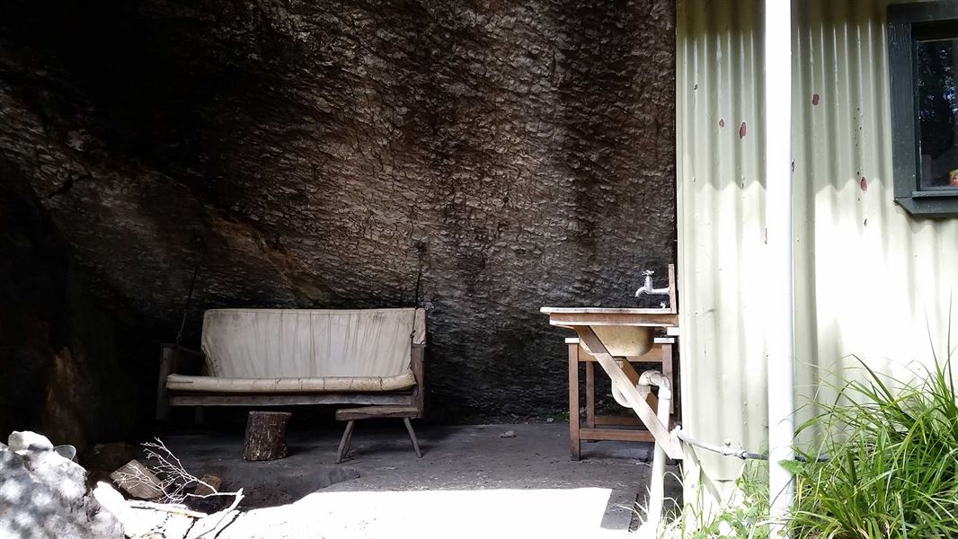
Upper Gridiron Hut
Standard • 3 bunks • Nelson/Tasman • 3.1 km
Heating • Mattresses • Toilets - non-flush
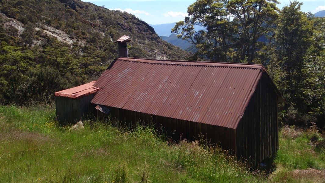
Asbestos Cottage
Basic/bivvies • 4 bunks • Nelson/Tasman • 6.7 km
Heating • Mattresses • Toilets - non-flush
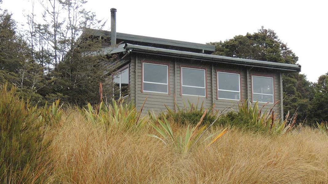
Salisbury Lodge
Serviced • 22 bunks • Nelson/Tasman • 6.8 km
Heating • Mattresses • Toilets - non-flush
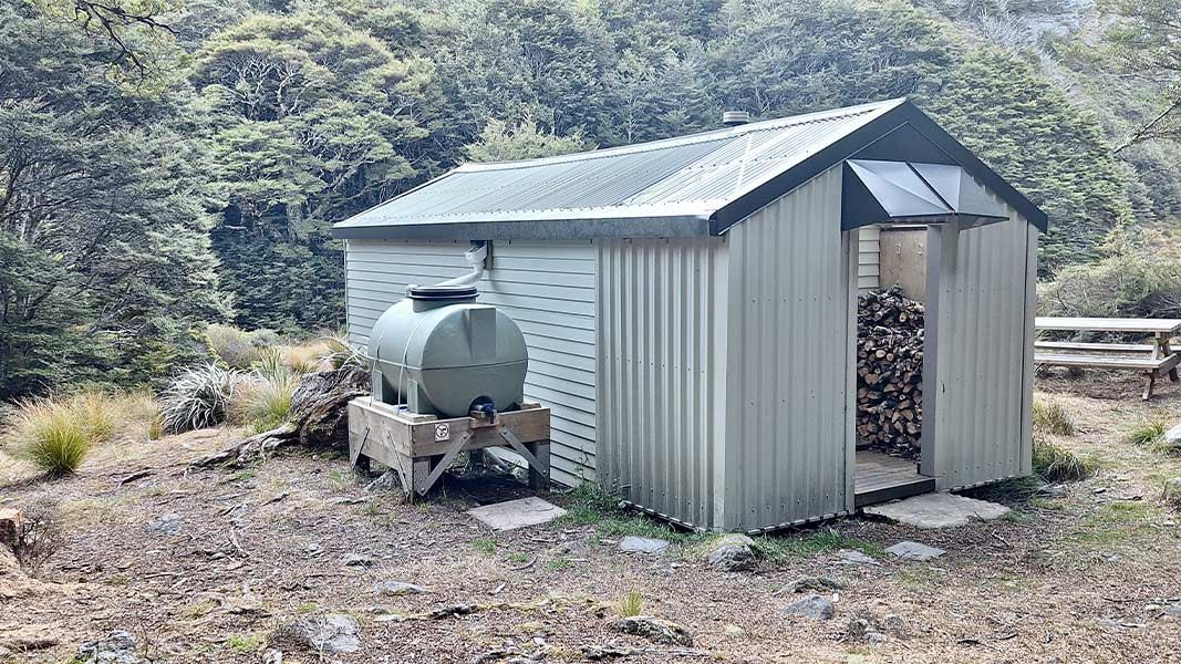
Ellis Hut
Standard • 6 bunks • Nelson/Tasman • 7.3 km
Heating • Mattresses • Toilets - non-flush
All details
- Facilities
- HeatingMattressesToilets - non-flushWater from streamWater supply
- Bookable
- No
- Category
- Basic/bivvies
- Location
- Kahurangi National Park
- Fireplace
- Yes
- Mattress
- Yes
- Capacity
- 12
- Toilets
- Yes
- Drinking water
- No
- Reservations
- No
- Fee
- No
- Website
- This place on doc.govt.nz
- Source data
- View source data
- road access
- Under 1 hour
Map and tracks
Track lines: DOC Te Papa Atawhai. Map data © OpenStreetMap contributors.41.18248° S, 172.73018° E
Something not right?
Closed, moved, wrong facts, or you know something we do not. Change only what you know is wrong or missing; a person checks it before it goes live. Or email us about this place.
Sources
- DOC Huts (API) · CC BY 4.0Crown Copyright: Department of Conservation Te Papa Atawhai. Data sourced from the DOC Developer Portal (api.doc.govt.nz).
- DOC Huts · CC BY 4.0Data sourced from the Department of Conservation (DOC), New Zealand.
- OpenStreetMap Huts · ODbL (Open Database License)Contains information from OpenStreetMap, made available under the ODbL.