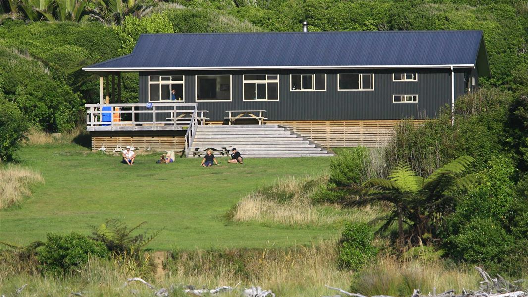
Heaphy Hut
Great Walk hutKahurangi National Park, Nelson/TasmanDOC data as at 20 September 2026
Current advisories
Landslip on Heaphy Track
16 September 2026
There is a slip on Heaphy Track close to Crayfish Point, between Kōhaihai and Heaphy Hut. The slip is impassable. A diversion is in place, but should only be attempted within 4 hours either side of low tide. From 28 September to 7 October, maintenance work will be taking place on the track, including the diversion. For safety reasons, access to the diversion may be temporarily stopped and delays of up to 1 hour are possible. To allow enough time to cross the diversion, do not arrive at the slip site more than 3 hours after low tide. Check the Tide Tables - for exact timings deduct 30 minutes from the time for Westport tides. It is dangerous to cross outside of these times and watch for rogue waves. Keep children close at all times while crossing this area. First published on 8 September 2026. Last reviewed on 17 September 2026.
Source: DOC Te Papa Atawhai alerts.
About this place
This is a 32 -bunk hut located on the Heaphy Track in the Buller area.
Fees and bookings
Backcountry Hut Passes and Backcountry Hut Tickets cannot be used at this hut.
Book Heaphy Track huts/campsites online
Source: DOC Te Papa Atawhai.
Getting there
- Topo map
- Topo50 sheet BP22
Source: DOC Te Papa Atawhai.
Contact
Nelson/Tasman/Marlborough information
Regional DOC service centre.
Nearby stops
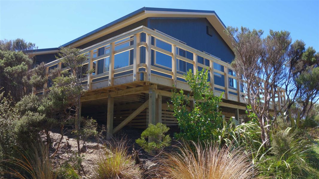
James Mackay Hut
Great Walk • 28 bunks • Nelson/Tasman • 14.3 km
Cooking • Heating • Mattresses
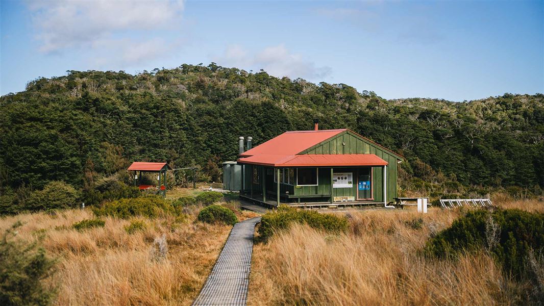
Saxon Hut
Great Walk • 16 bunks • Nelson/Tasman • 20 km
Cooking • Heating • Mattresses
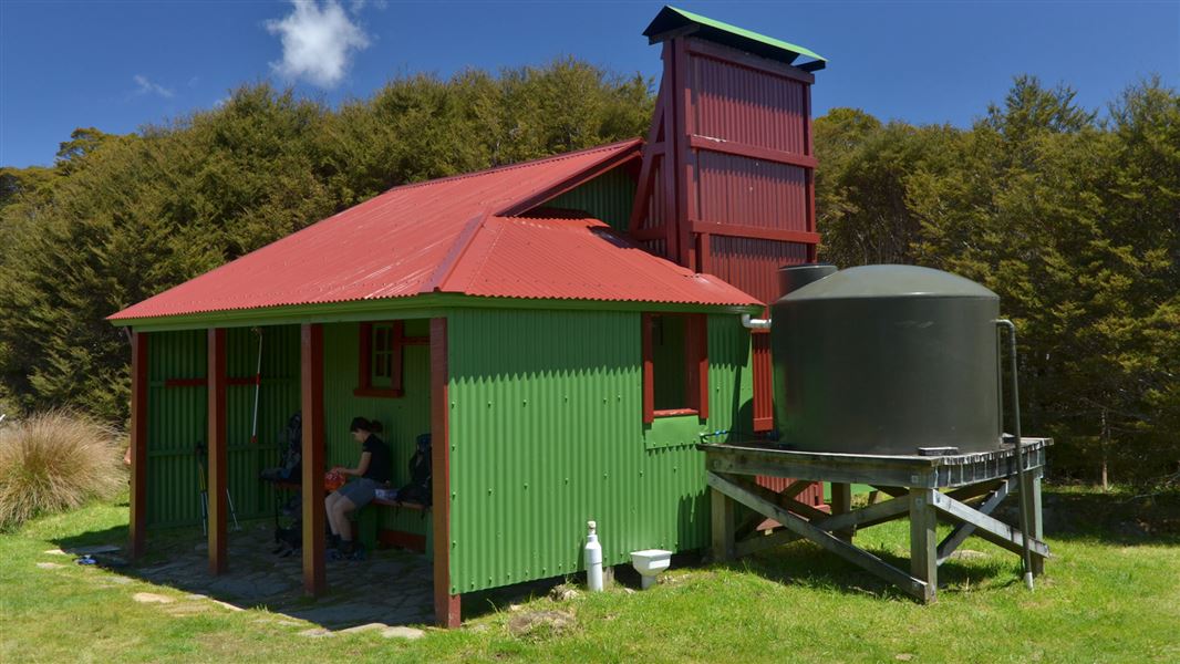
Gouland Downs Hut
Great Walk • 8 bunks • Nelson/Tasman • 23 km
Heating • Mattresses • Toilets - non-flush
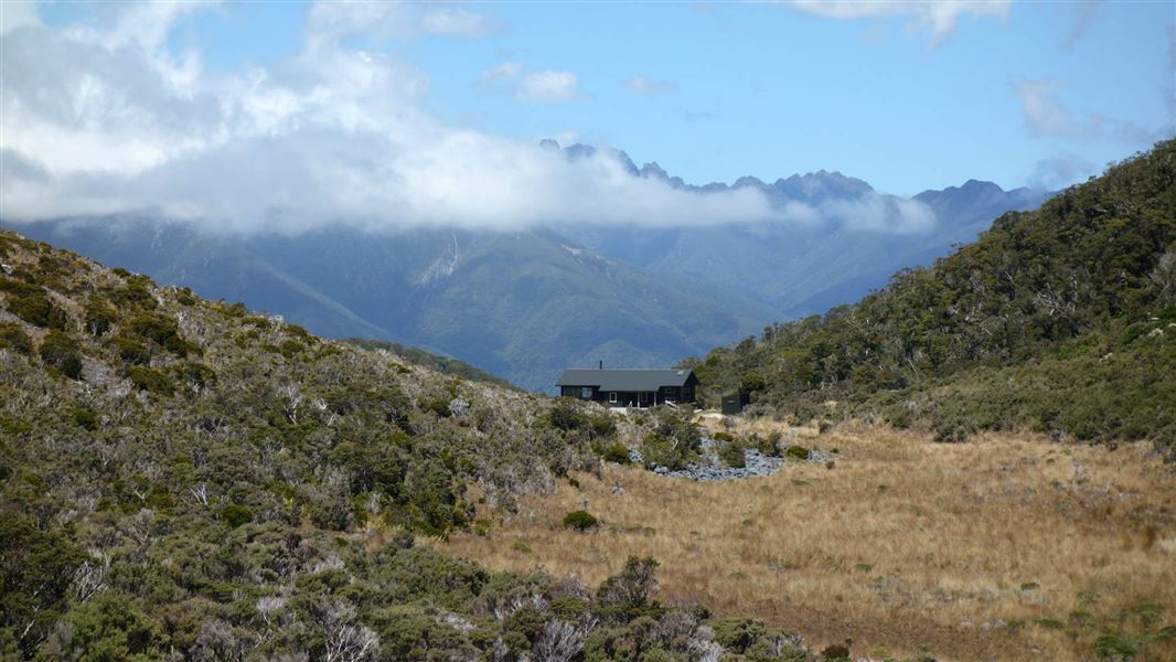
Perry Saddle Hut
Great Walk • 28 bunks • Nelson/Tasman • 26.3 km
Cooking • Heating • Mattresses
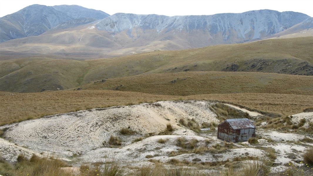
Brown Hut
Basic/bivvies • 3 bunks • Otago • 459.1 km
Mattresses • Toilets - non-flush • Water from stream
All details
- Facilities
- CookingHeatingMattressesLightingToilets - flushWater from tap - not treatedboil before useWater supply
- Bookable
- Yes
- Category
- Great Walk
- Location
- Kahurangi National Park
- Fireplace
- Yes
- Mattress
- Yes
- Capacity
- 32
- Toilets
- Yes
- Drinking water
- untreated
- Reservations
- required
- Fee
- Yes
- Website
- This place on doc.govt.nz
- Source data
- View source data
Map and tracks
Track lines: DOC Te Papa Atawhai. Map data © OpenStreetMap contributors.40.98660° S, 172.11070° E
Something not right?
Closed, moved, wrong facts, or you know something we do not. Change only what you know is wrong or missing; a person checks it before it goes live. Or email us about this place.
Sources
- DOC Huts (API) · CC BY 4.0Crown Copyright: Department of Conservation Te Papa Atawhai. Data sourced from the DOC Developer Portal (api.doc.govt.nz).
- DOC Huts · CC BY 4.0Data sourced from the Department of Conservation (DOC), New Zealand.
- OpenStreetMap Huts · ODbL (Open Database License)Contains information from OpenStreetMap, made available under the ODbL.