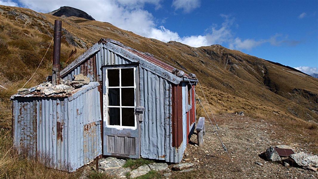
Heather Jock Hut
Basic/bivvies hutWhakaari Conservation Area, OtagoDOC data as at 20 September 2026
About this place
This is a three bunk hut in the Whakaari Conservation Area.
Know before you go
Unsafe water source Whakaari
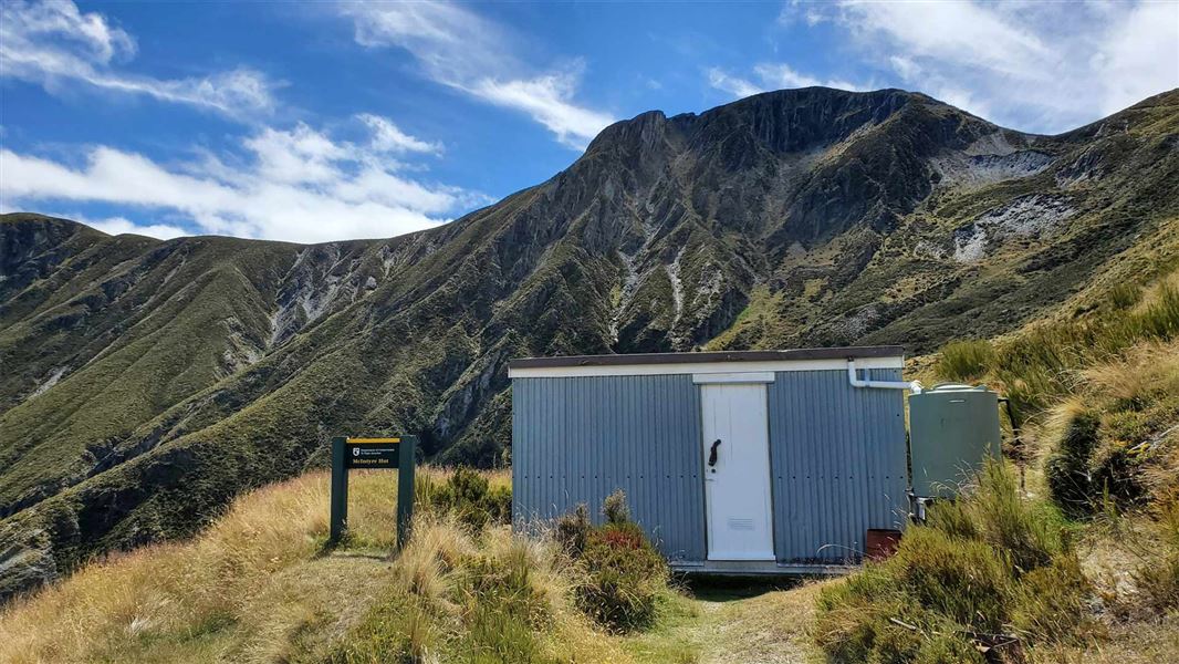
Due to historic mining activities, high levels of arsenic and heavy metals may be present in the soil and streams in the Whakaari area. Filtering or boiling the stream water does not remove the contamination. Visitors should not use the natural water sources for drinking, cooking, or washing based on current information available on the contamination. Heather Jock, McIntyre and McIntosh huts may have water in their tanks for use, but this is not guaranteed. Carry all the water you need when you visit the site.
Source: DOC Te Papa Atawhai.
Fees and bookings
Free
Source: DOC Te Papa Atawhai.
Getting there
- Topo map
- Topo50 sheet CB10
- Grid reference
- E1240933, N5023195
Source: DOC Te Papa Atawhai.
On these tracks
Source: DOC Te Papa Atawhai.
Contact
Whakatipu-wai-Māori/Queenstown Visitor Centre
Regional DOC service centre.
Nearby stops
All details
- Facilities
- MattressesToilets - non-flushWater from tap - not treatedboil before useWater supply
- Bookable
- No
- Category
- Basic/bivvies
- Location
- Whakaari Conservation Area
- Fireplace
- No
- Mattress
- Yes
- Capacity
- 3
- Toilets
- Yes
- Drinking water
- untreated
- Reservations
- No
- Fee
- No
- Website
- This place on doc.govt.nz
- Source data
- View source data
Map and tracks
Track lines: DOC Te Papa Atawhai. Map data © OpenStreetMap contributors.44.85418° S, 168.45574° E
Something not right?
Closed, moved, wrong facts, or you know something we do not. Change only what you know is wrong or missing; a person checks it before it goes live. Or email us about this place.
Sources
- OpenStreetMap Huts · ODbL (Open Database License)Contains information from OpenStreetMap, made available under the ODbL.
- DOC Huts (API) · CC BY 4.0Crown Copyright: Department of Conservation Te Papa Atawhai. Data sourced from the DOC Developer Portal (api.doc.govt.nz).
- DOC Huts · CC BY 4.0Data sourced from the Department of Conservation (DOC), New Zealand.