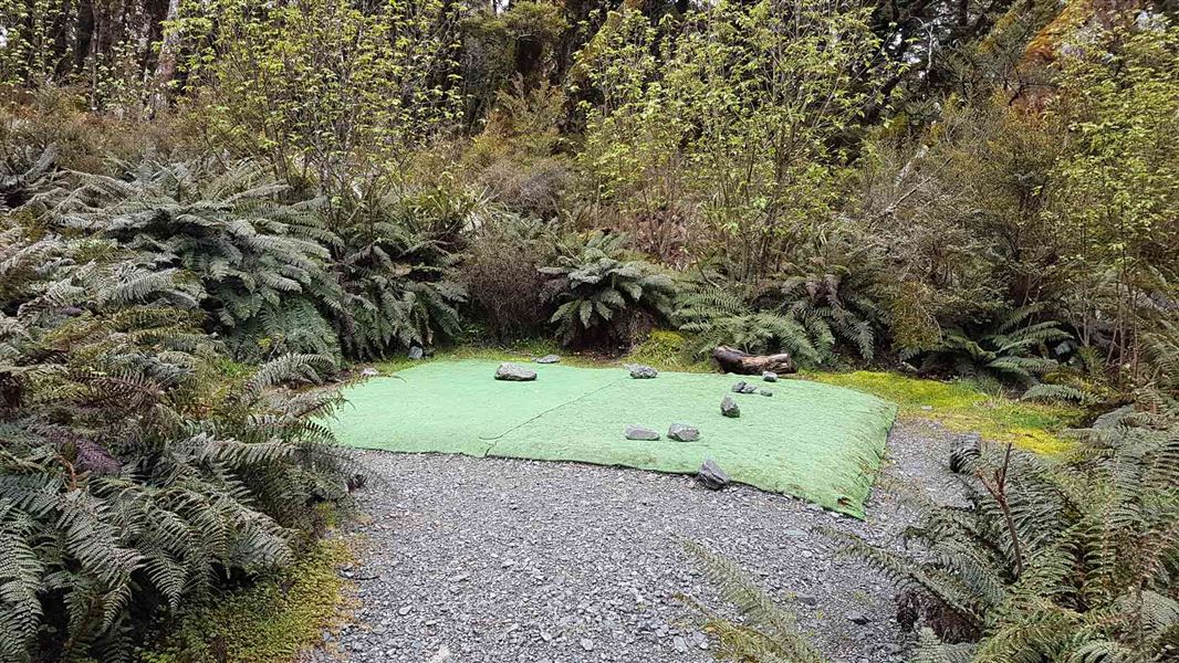
Lake Mackenzie Campsite
Great Walk campsiteLocated in Fiordland National Park, FiordlandDOC data as at 20 September 2026
Current advisories
Routeburn Track bridges removed for winter
15 June 2026
Side-stream bridges have been removed between Harris Saddle and Lake Mackenzie Hut for winter. This will affect anyone planning to complete the full Routeburn Track. Stream levels can rise quickly. Crossings are not recommended in winter. First published on 16 June 2026.
Source: DOC Te Papa Atawhai alerts.
About this place
This is a walk-in, Great Walk campsite on the Routeburn Track, Fiordland National Park. Bookings required in the Great Walks season.
Fees and bookings
The DOC Campsite Pass cannot be used at this campsite.
Bookings are required in the Great Walks season. Book Lake Mackenzie Campsite online.
Source: DOC Te Papa Atawhai.
Contact
Te Rua-o-te-moko/Fiordland National Park Visitor Centre
1 Lakefront Drive, Te Anau 9600
Regional DOC service centre.
Nearby stops
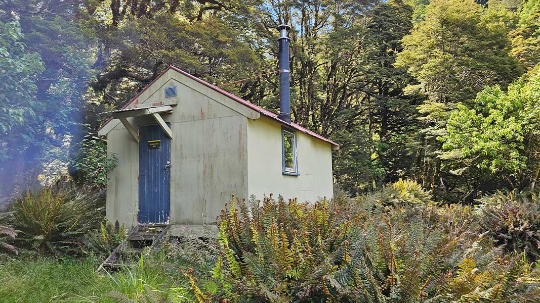
Mackenzie Hut
Basic/bivvies • 6 bunks • Canterbury • 388.2 km
Heating • Mattresses • Toilets - non-flush
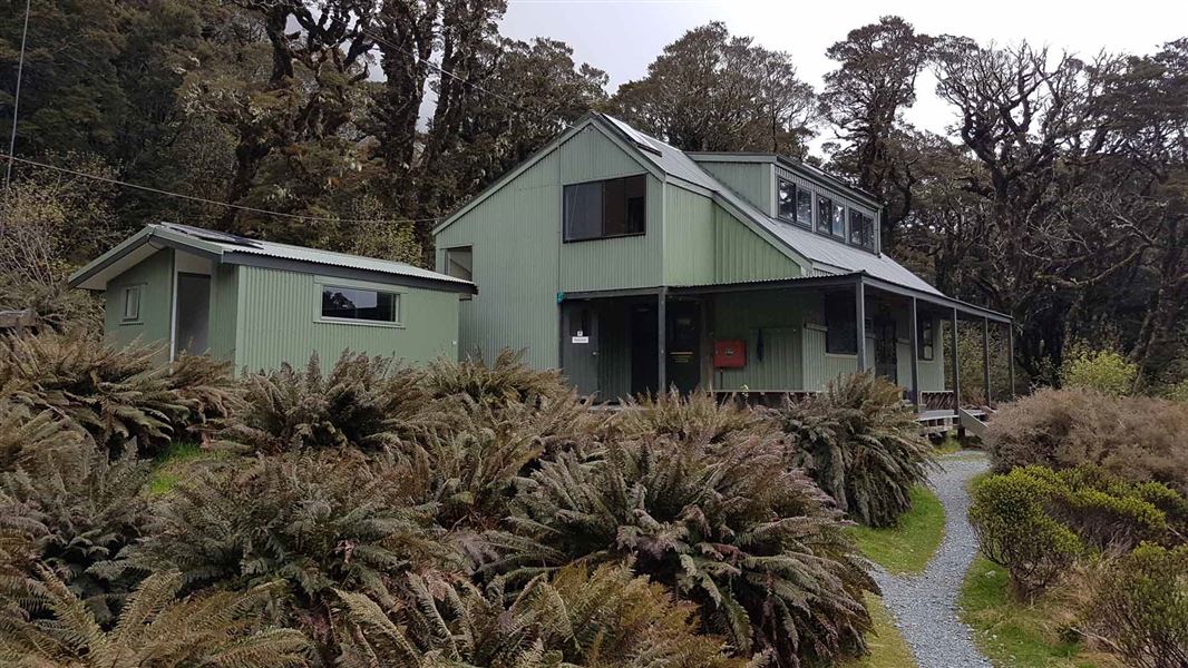
Lake Mackenzie Hut
Great Walk • 50 bunks • Fiordland • 0.4 km
Cooking • Heating • Mattresses
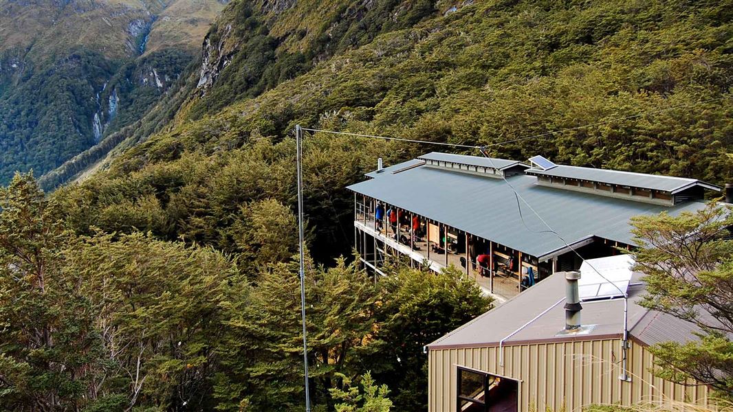
Routeburn Falls Hut
Great Walk • 48 bunks • Otago • 4.6 km
Cooking • Heating • Mattresses
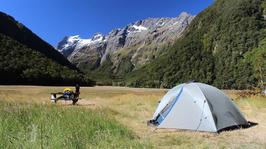
Routeburn Flats Campsite
Great Walk • Otago • 5.1 km
Non-powered/tent sites • Shelter for cooking • Water from tap - not treated
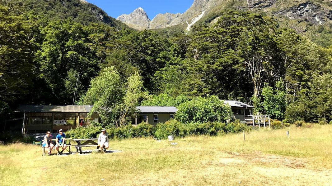
Routeburn Flats Hut
Great Walk • 20 bunks • Otago • 5.3 km
Cooking • Heating • Mattresses
All details
- Facilities
- Non-powered/tent sitesShelter for cookingWater from tap - not treatedboil before useToilets - non-flushToiletsWater supply
- Activities
- []
- Access
- Foot
- Setting
- Rivers and lakes
- Unpowered sites
- 9
- Bookable
- Yes
- Category
- Great Walk
- Dogs
- No dogs.
- Location
- Located in Fiordland National Park
- Toilets
- Yes
- Drinking water
- untreated
- Reservations
- required
- Website
- This place on doc.govt.nz
- Source data
- View source data
Map and tracks
Track lines: DOC Te Papa Atawhai. Map data © OpenStreetMap contributors.44.76423° S, 168.17635° E
Something not right?
Closed, moved, wrong facts, or you know something we do not. Change only what you know is wrong or missing; a person checks it before it goes live. Or email us about this place.
Sources
- DOC Campsites · CC BY 4.0Data sourced from the Department of Conservation (DOC), New Zealand.
- OpenStreetMap Campsites · ODbL (Open Database License)Contains information from OpenStreetMap, made available under the ODbL.
- DOC Campsites (API) · CC BY 4.0Crown Copyright: Department of Conservation Te Papa Atawhai. Data sourced from the DOC Developer Portal (api.doc.govt.nz).