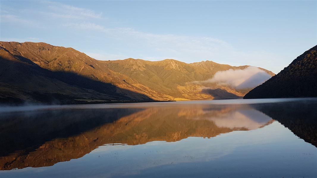
Lake Taylor Campsite
Standard campsiteLocated in Lake Sumner Forest Park, CanterburyDOC data as at 20 September 2026
About this place
Camp beside the lake and explore this highly scenic area by foot or mountain bike.
Fees and bookings
The DOC Campsite Pass can be used at this campsite. Campsite Pass bookings must be booked online before occupying a site. If you do not book, bookings may be made by campground staff (if present) and will incur a $10 service charge. Sites may not be available if you do not book.
Bookings are open for stays up to 30 June 2027. If no availability shows online for your dates, the campsite is fully booked. No spaces are kept for campers arriving without a booking. Phone and in‑person bookings made at a visitor centre incur a $10 service fee. Same‑day bookings are available online until 8 pm if spaces remain. Book Lake Taylor Campsite online . Your booking will be for a site, which will be allocated or selected on arrival.
Source: DOC Te Papa Atawhai.
Contact
Arthur's Pass National Park Visitor Centre
104 West Coast Road, Arthur's Pass 7654
Regional DOC service centre.
Nearby stops
Unnamed hut
Canterbury • 1.2 km
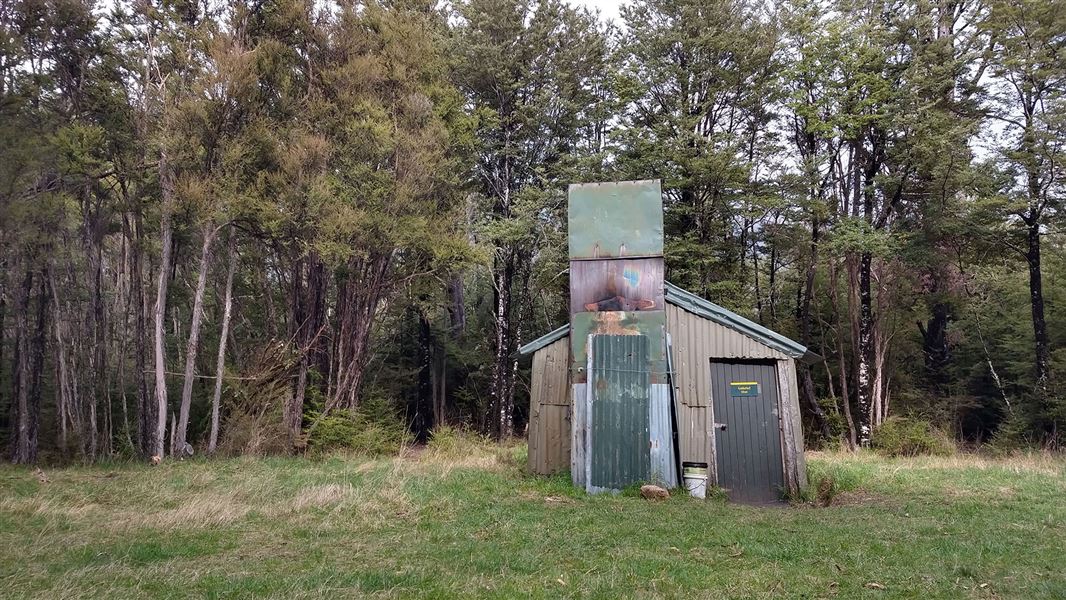
Gabriel Hut
Basic/bivvies • 4 bunks • Canterbury • 6.5 km
Heating • Toilets - non-flush • Water from stream
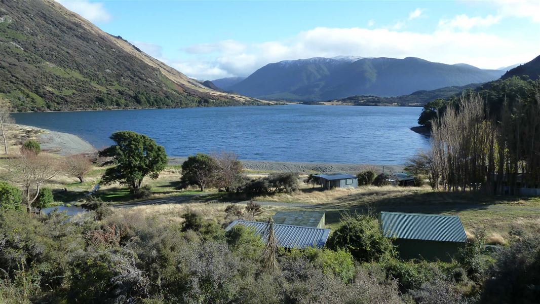
Loch Katrine Campsite
Basic • Canterbury • 6.8 km
Non-powered/tent sites • Water from tap - not treated • boil before use
Deep Creek Hut
Canterbury • 7.1 km
Jollie Camp Spot
Canterbury • 7.2 km
All details
- Facilities
- Non-powered/tent sitesShelter for cookingWater from tap - not treatedboil before useWheelchair accessible with assistanceToilets - non-flushToiletsWater supply
- Activities
- []
- Access
- CampervanCarCaravan
- Setting
- Rivers and lakes
- Unpowered sites
- 15
- Bookable
- Yes
- Category
- Standard
- Dogs
- Dogs on a leash only.
- Location
- Located in Lake Sumner Forest Park
- Tents
- Yes
- Caravans
- Yes
- Toilets
- Yes
- Drinking water
- untreated
- Reservations
- required
- Website
- This place on doc.govt.nz
- Source data
- View source data
Map
Map data © OpenStreetMap contributors.42.77355° S, 172.25386° E
Something not right?
Closed, moved, wrong facts, or you know something we do not. Change only what you know is wrong or missing; a person checks it before it goes live. Or email us about this place.
Sources
- DOC Campsites (API) · CC BY 4.0Crown Copyright: Department of Conservation Te Papa Atawhai. Data sourced from the DOC Developer Portal (api.doc.govt.nz).
- DOC Campsites · CC BY 4.0Data sourced from the Department of Conservation (DOC), New Zealand.
- OpenStreetMap Campsites · ODbL (Open Database License)Contains information from OpenStreetMap, made available under the ODbL.