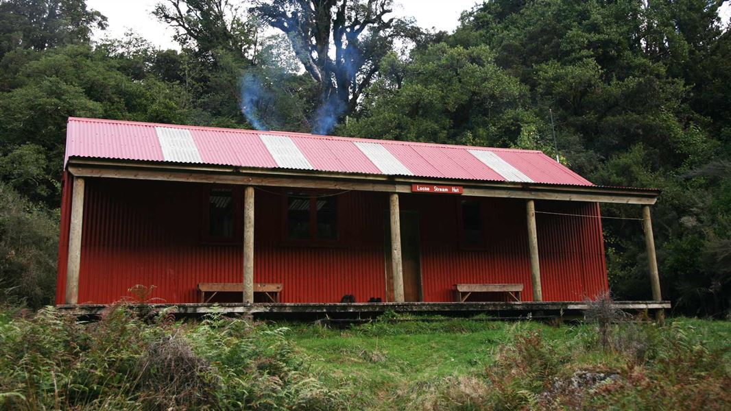
Locke Stream Hut
Standard hutArthur's Pass National Park, West CoastDOC data as at 20 September 2026
About this place
This is a standard 18-bunk hut in the Hokitika area. This historic hut is a relic of the Government’s 1939s fitness programme, and remains in quite original condition.
Fees and bookings
Before you go, buy Hut Tickets for each night's stay. Put these in the honesty box at the hut. Or buy a Backcountry Hut Pass that gives unlimited use at most Standard and Serviced huts for a 12 month period. Retailers that sell hut tickets and passes Built with Department of Internal Affairs funding when the Taramakau-Harper Pass – Lake Sumner route was developed as part of a Government programme encouraging physical fitness. It has been in regular use by trampers and hunters ever since. Taramakau Valley, Arthur's Pass National Park, DOC West Coast The hut will continue to be used for recreation via the Harper Pass route. Major maintenance was carried out in 1993 in accordance with a conservation plan (Paul Mahoney, 1992) with the objective of retaining the hut’s original character. Te Araroa – The Trail Pass Te Araroa Trail Pass
Source: DOC Te Papa Atawhai.
Getting there
- Topo map
- Topo50 sheet BU21
Source: DOC Te Papa Atawhai.
On these tracks
Source: DOC Te Papa Atawhai.
Contact
Arthur's Pass National Park Visitor Centre
104 West Coast Road, Arthur's Pass 7654
Regional DOC service centre.
Nearby stops
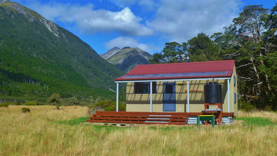
Poulter Hut
Standard • 10 bunks • Canterbury • 12.3 km
Heating • Toilets - non-flush • Water from tap - not treated
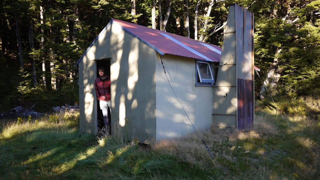
Trust/poulter Hut
Standard • 6 bunks • Canterbury • 12.8 km
Heating • Mattresses • Toilets - non-flush
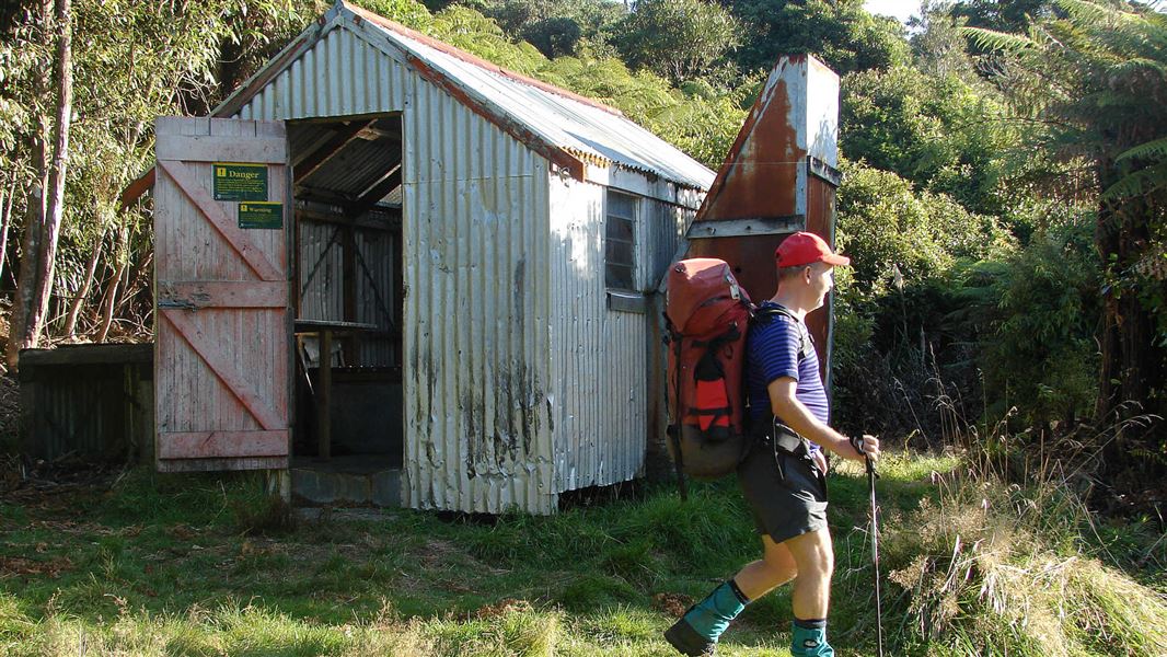
Hurunui Hut
Basic/bivvies • 3 bunks • Bay of Plenty • 648.2 km
Mattresses • Toilets - non-flush • Water from stream
All details
- Facilities
- HeatingMattressesToilets - non-flushWater from streamWater supply
- Bookable
- No
- Category
- Standard
- Location
- Arthur's Pass National Park
- Fireplace
- Yes
- Mattress
- Yes
- Capacity
- 18
- Toilets
- Yes
- Drinking water
- No
- Reservations
- No
- Fee
- Yes
- Website
- This place on doc.govt.nz
- Source data
- View source data
Map and tracks
Track lines: DOC Te Papa Atawhai. Map data © OpenStreetMap contributors.42.73981° S, 171.83016° E
Something not right?
Closed, moved, wrong facts, or you know something we do not. Change only what you know is wrong or missing; a person checks it before it goes live. Or email us about this place.
Sources
- OpenStreetMap Huts · ODbL (Open Database License)Contains information from OpenStreetMap, made available under the ODbL.
- DOC Huts · CC BY 4.0Data sourced from the Department of Conservation (DOC), New Zealand.
- DOC Huts (API) · CC BY 4.0Crown Copyright: Department of Conservation Te Papa Atawhai. Data sourced from the DOC Developer Portal (api.doc.govt.nz).