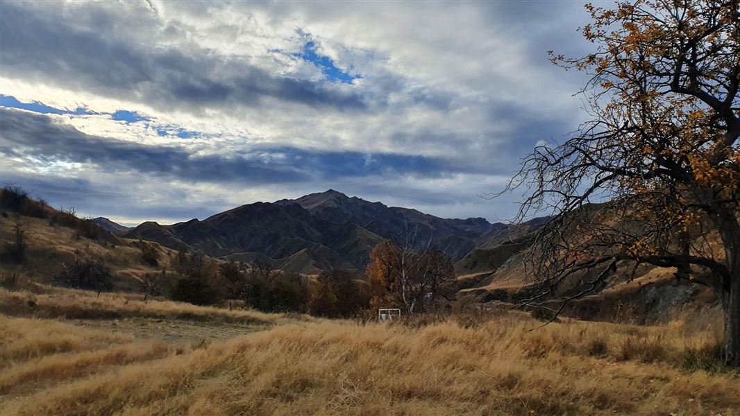
Macetown Campsite
Basic campsiteLocated in Macetown Historic Reserve, OtagoDOC data as at 20 September 2026
Current advisories
Macetown Road slips
01 September 2026
The Macetown Road has numerous slips after a storm event in late August 2026. The slips could be unstable. 4WD access is closed (refer to the managed access system ). First published on 2 September 2026.
Source: DOC Te Papa Atawhai alerts.
About this place
This is a basic campsite in the Queenstown/Wakatipu area, 15 km from Arrowtown, at the end of a 4WD road that crosses the Arrow River numerous times.
Know before you go
Vehicles must stay on tracks
This is an historic site and 4WD and trail bike access is limited to formed tracks. Do not go off the track or attempt routes you are unsure about as it may be very difficult to reverse or pass other traffic. The terrain is challenging and includes sections of narrow road with steep drop-offs, blind corners and multiple unbridged river crossings. Experience in rough conditions on steep terrain is essential.
Vehicle requirements
You should be self-reliant, with recovery equipment (winch) appropriate for the conditions and terrain. Recommended minimum vehicle requirements include: a fit for purpose 4WD fitted with off-road tyres and snorkel, or other suitable means to avoid hydraulicing.
Don't expect vehicle assistance
Do not expect assistance if your vehicle becomes submerged, damaged or stuck on the track or in rivers. You need to make your own arrangements for vehicle recovery in the event of a mishap.
Source: DOC Te Papa Atawhai.
Contact
Whakatipu-wai-Māori/Queenstown Visitor Centre
Regional DOC service centre.
Nearby stops
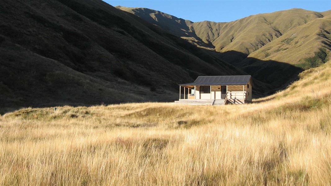
All details
- Facilities
- Non-powered/tent sitesWater from streamToilets - non-flushToiletsWater supply
- Activities
- Camping
- Access
- Foot4WDMountain bike
- Setting
- Rivers and lakes
- Unpowered sites
- 36
- Bookable
- No
- Category
- Basic
- Dogs
- Dogs on a leash only.
- Location
- Located in Macetown Historic Reserve
- Tents
- Yes
- Caravans
- Yes
- Toilets
- Yes
- Drinking water
- stream
- Reservations
- No
- Fee
- No
- Website
- This place on doc.govt.nz
- Source data
- View source data
Map
Map data © OpenStreetMap contributors.44.86689° S, 168.82098° E
Something not right?
Closed, moved, wrong facts, or you know something we do not. Change only what you know is wrong or missing; a person checks it before it goes live. Or email us about this place.
Sources
- DOC Campsites · CC BY 4.0Data sourced from the Department of Conservation (DOC), New Zealand.
- DOC Campsites (API) · CC BY 4.0Crown Copyright: Department of Conservation Te Papa Atawhai. Data sourced from the DOC Developer Portal (api.doc.govt.nz).
- OpenStreetMap Campsites · ODbL (Open Database License)Contains information from OpenStreetMap, made available under the ODbL.