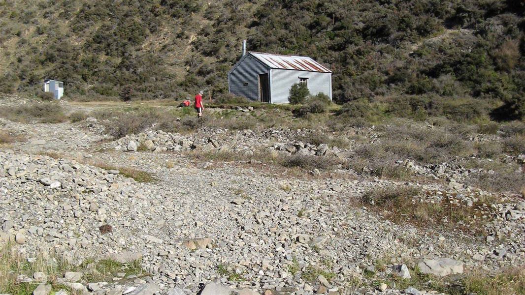
Manuka Hut
Basic/bivvies hutHakatere Conservation Park, CanterburyDOC data as at 20 September 2026
No booking needed
About this place
Manuka Hut is a basic hut in the Mid and South Canterbury backcountry area. This hut is at risk of flooding during heavy rain.
Know before you go
Flooding risk
This hut is at risk of flooding during heavy rain events. Monitor river levels during storms. Evacuate to the higher ground behind the hut if necessary.
Source: DOC Te Papa Atawhai.
Getting there
- Topo map
- Topo50 sheet BX19
- Grid reference
- E1458961, N5178203
Source: DOC Te Papa Atawhai.
Contact
DOC Customer Service Centre
Regional DOC service centre.
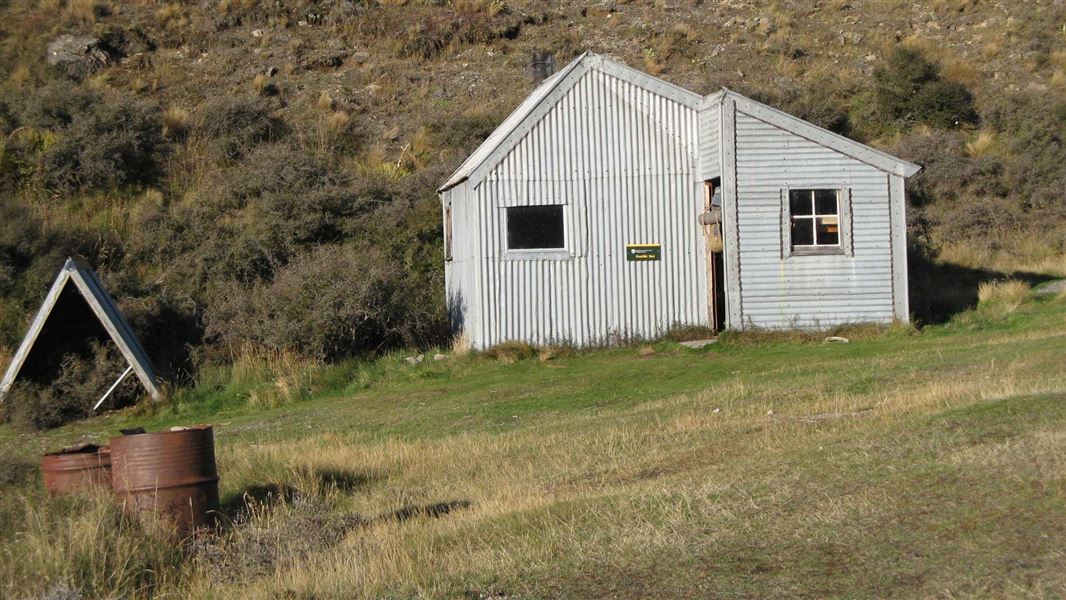
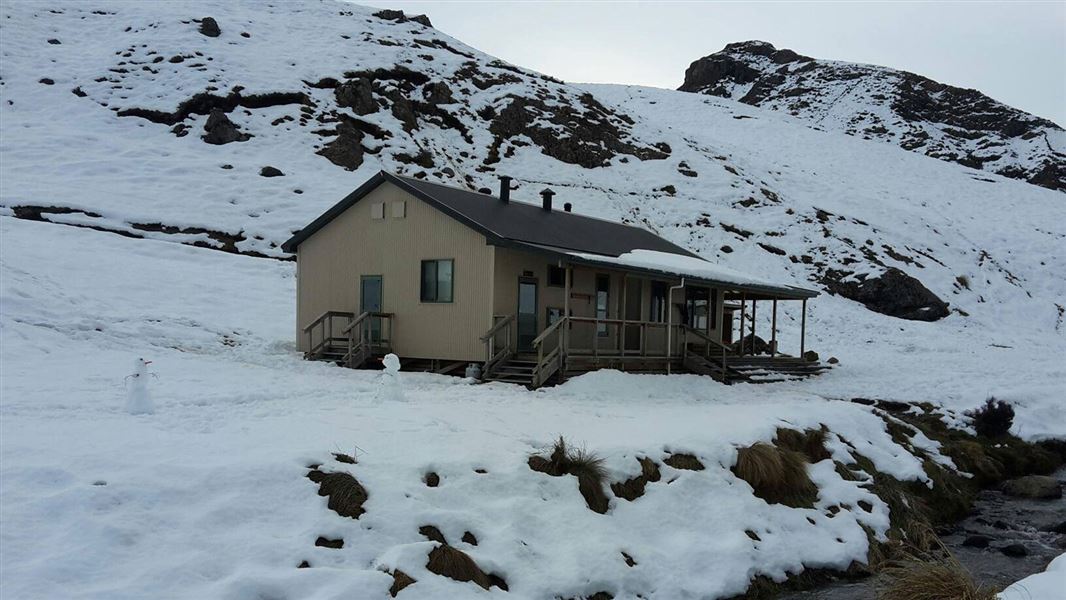
Nearby stops
All details
- Facilities
- HeatingMattressesToilets - non-flushWater from streamWater supply
- Bookable
- No
- Category
- Basic/bivvies
- Location
- Hakatere Conservation Park
- Fireplace
- Yes
- Mattress
- Yes
- Capacity
- 6
- Toilets
- Yes
- Drinking water
- No
- Reservations
- No
- Fee
- No
- Website
- This place on doc.govt.nz
- Source data
- View source data
- road access
- 1-3 hours
Map
Loading map
Map data © OpenStreetMap contributors.43.53560° S, 171.25449° E
Something not right?
Closed, moved, wrong facts, or you know something we do not. Change only what you know is wrong or missing; a person checks it before it goes live. Or email us about this place.
Sources
- DOC Huts (API) · CC BY 4.0Crown Copyright: Department of Conservation Te Papa Atawhai. Data sourced from the DOC Developer Portal (api.doc.govt.nz).
- DOC Huts · CC BY 4.0Data sourced from the Department of Conservation (DOC), New Zealand.
- OpenStreetMap Huts · ODbL (Open Database License)Contains information from OpenStreetMap, made available under the ODbL.