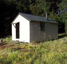
Mid Robinson Hut
Standard hutVictoria Forest Park, West CoastDOC data as at 20 September 2026
Current advisories
Robinson River Route damaged and hard to navigate
12 August 2026
Severe weather has badly damaged the Robinson River Route. There are slips, uprooted trees and two destroyed bridges. One bridge 500 m below Top Robinson Hut and another just south of Mid Robinson Hut. Access is difficult. Travel is only possible when river levels are low. You need a high level of backcountry skill to navigate steep gravel banks and off-track river travel safely. River levels can rise quickly and currents can become stronger with little warning. This is a long term alert. First published on 1 May 2023. Last reviewed on 13 August 2026.
Source: DOC Te Papa Atawhai alerts.
About this place
This is a standard six-bunk hut in the Greymouth area.
Fees and bookings
Before you go, buy Hut Tickets for each night's stay. Put these in the honesty box at the hut. Or buy a Backcountry Hut Pass that gives unlimited use at most Standard and Serviced huts for a 12 month period. Retailers that sell hut tickets and passes
Source: DOC Te Papa Atawhai.
Getting there
- Topo map
- Topo50 sheet BU22
- Grid reference
- E1524747, N5294366
Source: DOC Te Papa Atawhai.
Contact
Paparoa National Park Visitor Centre
4294 Coast Road, Punakaiki, RD 1 Runanga 7873
Regional DOC service centre.
Nearby stops
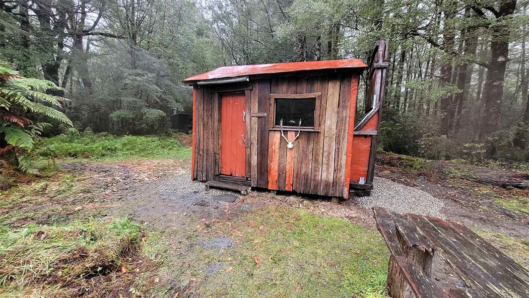
Slaty Creek Hut
Basic/bivvies • 4 bunks • West Coast • 5.1 km
Heating • Mattresses • Toilets - non-flush
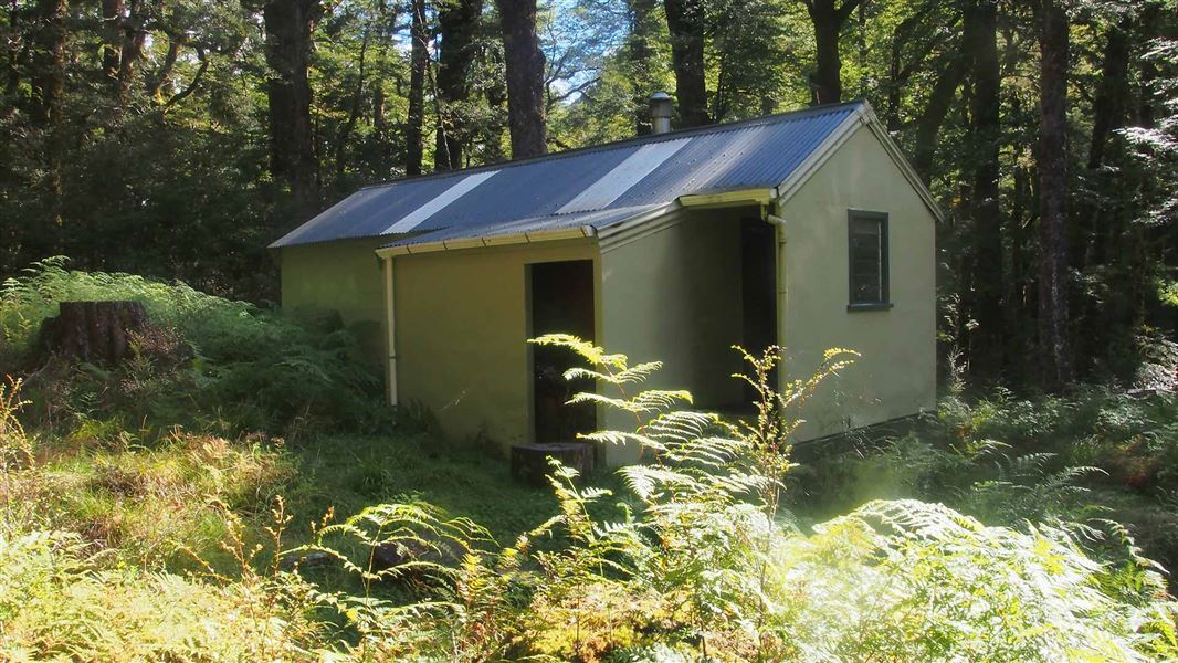
Top Robinson Hut
Standard • 8 bunks • West Coast • 8.2 km
Heating • Mattresses • Toilets - non-flush
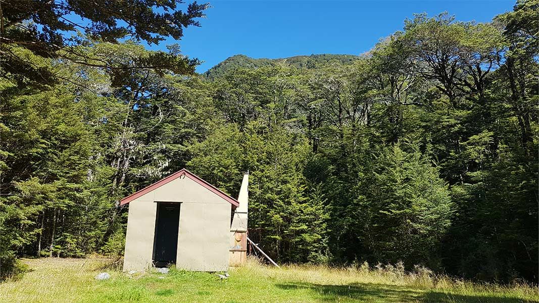
Doubtless Hut
Standard • 6 bunks • Canterbury • 11.9 km
Heating • Mattresses • Toilets - non-flush
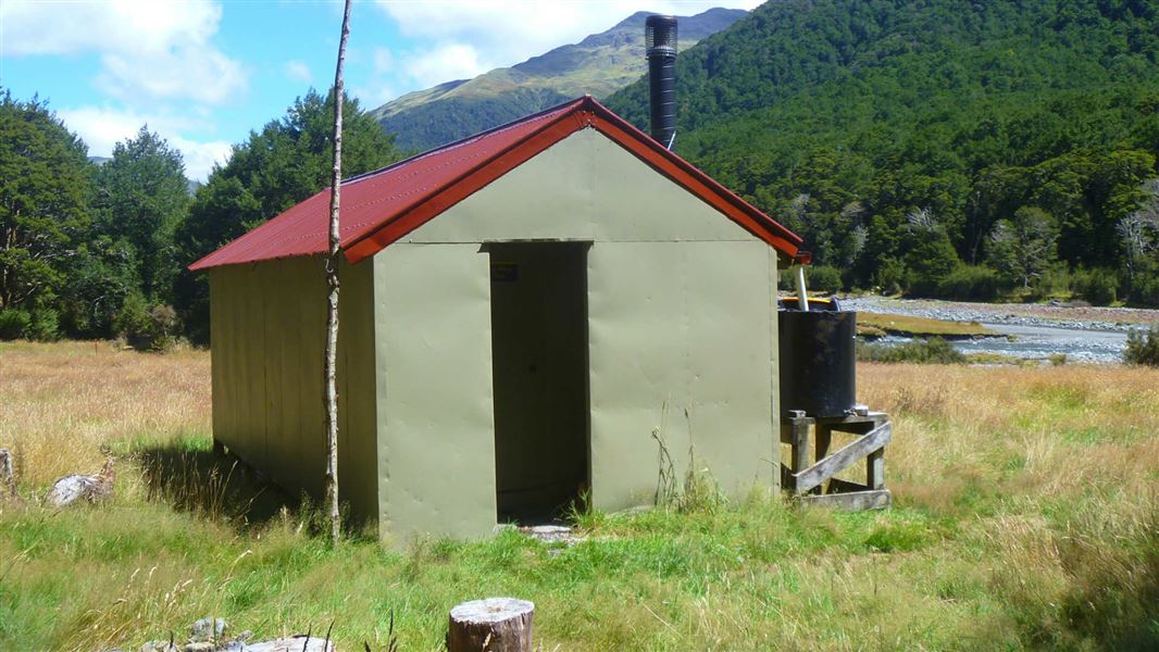
Top Hope Hut
Basic/bivvies • 6 bunks • Canterbury • 12.5 km
Heating • Mattresses • Toilets - non-flush
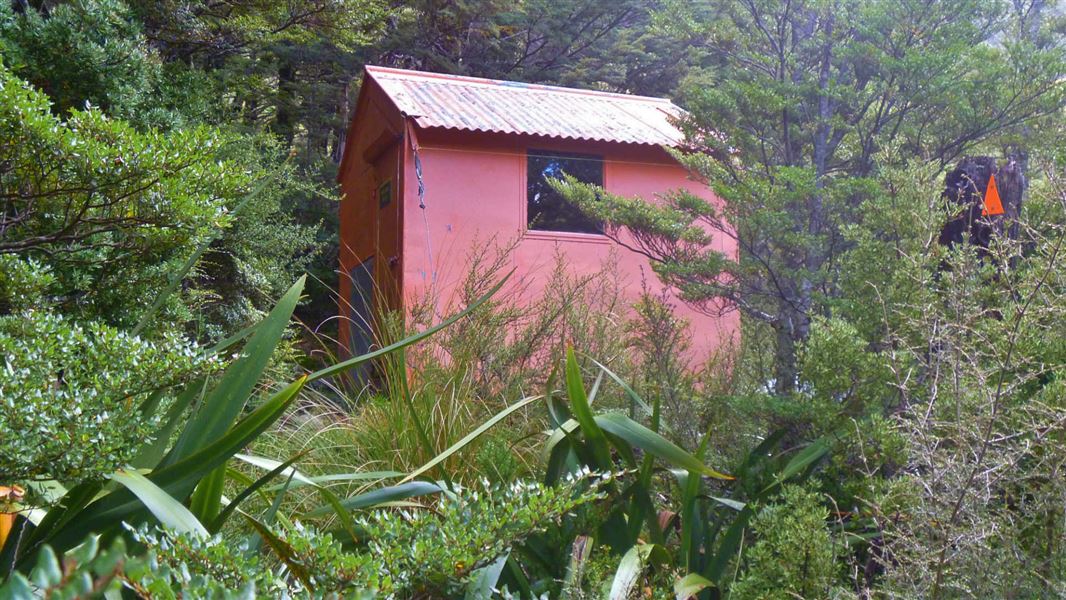
Lake Man Bivvy
Basic/bivvies • 2 bunks • Canterbury • 12.7 km
Toilets - non-flush • Water from stream • Water supply
All details
- Facilities
- HeatingMattressesToilets - non-flushWater from streamWater supply
- Bookable
- No
- Category
- Standard
- Location
- Victoria Forest Park
- Fireplace
- Yes
- Mattress
- Yes
- Capacity
- 6
- Toilets
- Yes
- Drinking water
- No
- Reservations
- No
- Fee
- Yes
- Website
- This place on doc.govt.nz
- Source data
- View source data
Map and tracks
Track lines: DOC Te Papa Atawhai. Map data © OpenStreetMap contributors.42.49941° S, 172.08415° E
Something not right?
Closed, moved, wrong facts, or you know something we do not. Change only what you know is wrong or missing; a person checks it before it goes live. Or email us about this place.
Sources
- DOC Huts (API) · CC BY 4.0Crown Copyright: Department of Conservation Te Papa Atawhai. Data sourced from the DOC Developer Portal (api.doc.govt.nz).
- OpenStreetMap Huts · ODbL (Open Database License)Contains information from OpenStreetMap, made available under the ODbL.
- DOC Huts · CC BY 4.0Data sourced from the Department of Conservation (DOC), New Zealand.