Motatapu Track
TrackOtagoDOC data as at 20 September 2026
About this place
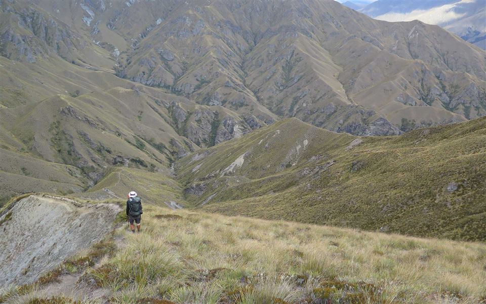
The Motatapu Track follows much of an historic route that linked the Wānaka and Arrowtown areas. It's a demanding alpine tramp for experienced parties. This track is part of Te Araroa Trail.
Nearby stops
All details
- Dogs
- No Dogs
- Track type
- Tramping track
- Route
- One way
- Walking time
- Multi-night
- Distance
- 49 km
- Source data
- View source data
Map
Loading map
Map data © OpenStreetMap contributors.44.68968° S, 168.99047° E
Something not right?
Closed, moved, wrong facts, or you know something we do not. Change only what you know is wrong or missing; a person checks it before it goes live. Or email us about this place.
Sources
- DOC Tracks (API) · CC BY 4.0Crown Copyright: Department of Conservation Te Papa Atawhai. Data sourced from the DOC Developer Portal (api.doc.govt.nz).
- DOC Tracks & Trails · CC BY 4.0Data sourced from the Department of Conservation (DOC), New Zealand.