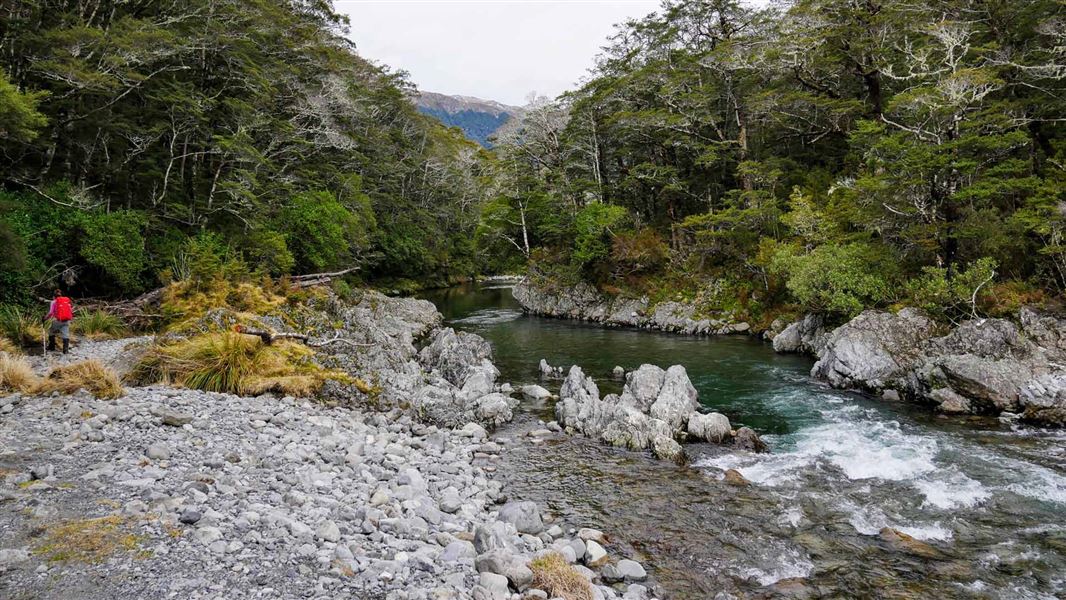
Nina Valley Track
TrackCanterburyDOC data as at 20 September 2026
About this place
This track goes to the upper Nina Valley. While relatively flat, this track can be rough and muddy in places and has several stream crossings.
Nearby stops
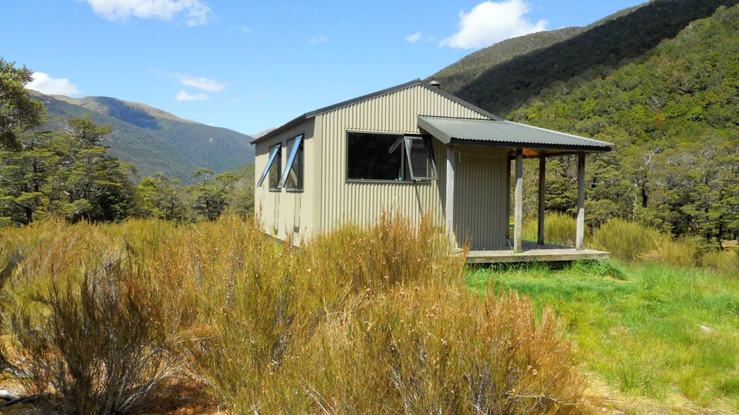
Nina Hut
Standard • 10 bunks • Canterbury • 1.2 km
Heating • Mattresses • Toilets - non-flush
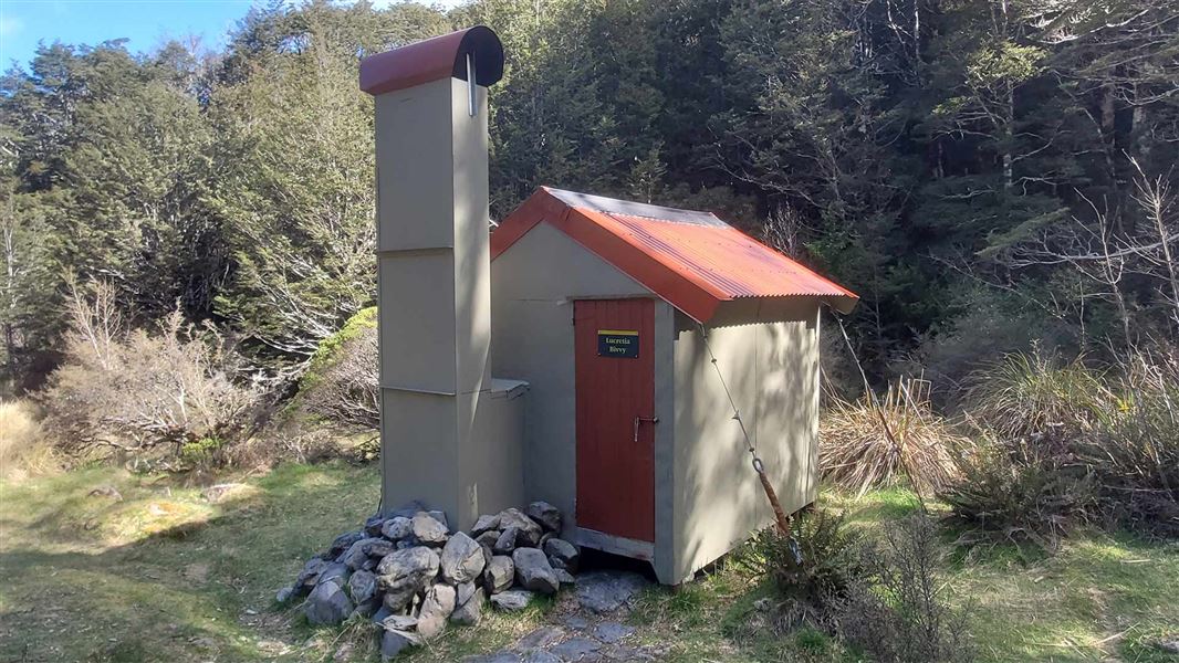
Lucretia Hut
Basic/bivvies • 2 bunks • Canterbury • 4.1 km
Heating • Toilets - non-flush • Water from stream
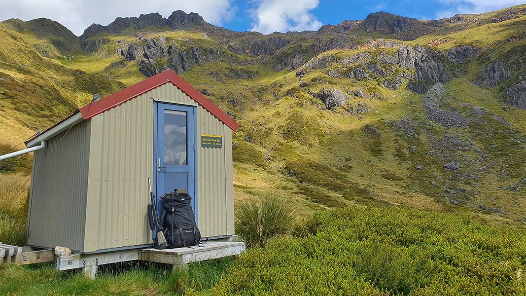
Devils Den Bivvy
Basic/bivvies • 2 bunks • Canterbury • 4.4 km
Mattresses • Toilets - non-flush • Water from tap - not treated
Brass Monkey Bivvy
4 bunks • Canterbury • 5 km
Mattresses • Toilets - non-flush • Water from stream
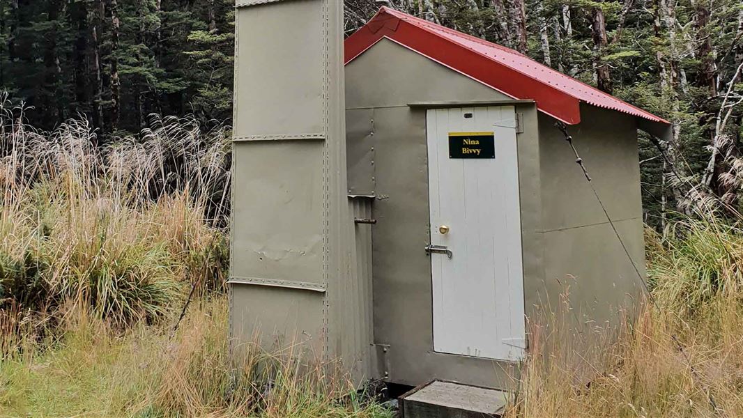
Upper Nina Bivvy
Basic/bivvies • 2 bunks • Canterbury • 5.3 km
Heating • Mattresses • Toilets - non-flush
All details
- Dogs
- No dogs. Other pets on conservation land rules.
- Track type
- Advanced
- Walking time
- 5 hr
- Distance
- 13 km
- Source data
- View source data
Map
Map data © OpenStreetMap contributors.42.46233° S, 172.33589° E
Something not right?
Closed, moved, wrong facts, or you know something we do not. Change only what you know is wrong or missing; a person checks it before it goes live. Or email us about this place.
Sources
- DOC Tracks (API) · CC BY 4.0Crown Copyright: Department of Conservation Te Papa Atawhai. Data sourced from the DOC Developer Portal (api.doc.govt.nz).