Pahautea Hut Campsite
Backcountry campsiteLocated in Pirongia Forest Park, WaikatoDOC data as at 20 September 2026
Current advisories
Pirongia track closures
20 July 2026
These tracks are closed due to track damage from a severe weather event in February 2026: Bell Track Kaniwhaniwha: Kahikatea tree Mahaukura Track Wharauroa Track. This is a long-term alert. First published on 14 February 2026. Last reviewed on 21 July 2026.
Source: DOC Te Papa Atawhai alerts.
About this place
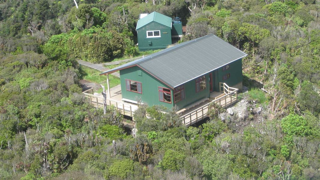
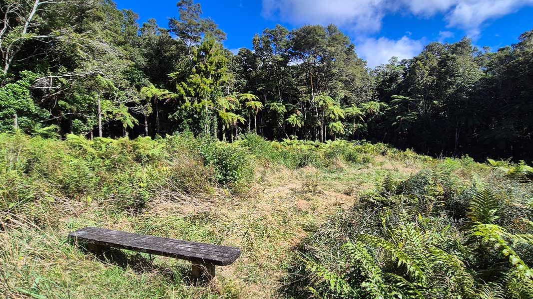
There are camping pads next to Pāhautea Hut and a shelter provided with water, sink, bench and table.
Fees and bookings
Camping
Te Araroa – The Trail Pass Te Araroa Trail Pass
Bookings are open for stays up to 30 June 2027. If no availability shows online for your dates, the campsite is fully booked. No spaces are kept for campers arriving without a booking. Phone and in‑person bookings made at a visitor centre incur a $10 service fee. Same‑day bookings are available online until 8 pm if spaces remain. Book Pāhautea Hut Campsite online .
Source: DOC Te Papa Atawhai.
On these tracks
Source: DOC Te Papa Atawhai.
Contact
DOC Customer Service Centre
Regional DOC service centre.
Nearby stops
All details
- Facilities
- Non-powered/tent sitesWater from tap - not treatedboil before useToilets - non-flushToiletsWater supply
- Activities
- []
- Access
- Foot
- Setting
- Forest
- Unpowered sites
- 7
- Bookable
- Yes
- Category
- Backcountry
- Dogs
- No dogs.
- Location
- Located in Pirongia Forest Park
- Toilets
- Yes
- Drinking water
- untreated
- Reservations
- required
- Website
- This place on doc.govt.nz
- Source data
- View source data
Map and tracks
Track lines: DOC Te Papa Atawhai. Map data © OpenStreetMap contributors.37.99375° S, 175.09224° E
Something not right?
Closed, moved, wrong facts, or you know something we do not. Change only what you know is wrong or missing; a person checks it before it goes live. Or email us about this place.
Sources
- DOC Campsites · CC BY 4.0Data sourced from the Department of Conservation (DOC), New Zealand.
- OpenStreetMap Campsites · ODbL (Open Database License)Contains information from OpenStreetMap, made available under the ODbL.
- DOC Campsites (API) · CC BY 4.0Crown Copyright: Department of Conservation Te Papa Atawhai. Data sourced from the DOC Developer Portal (api.doc.govt.nz).