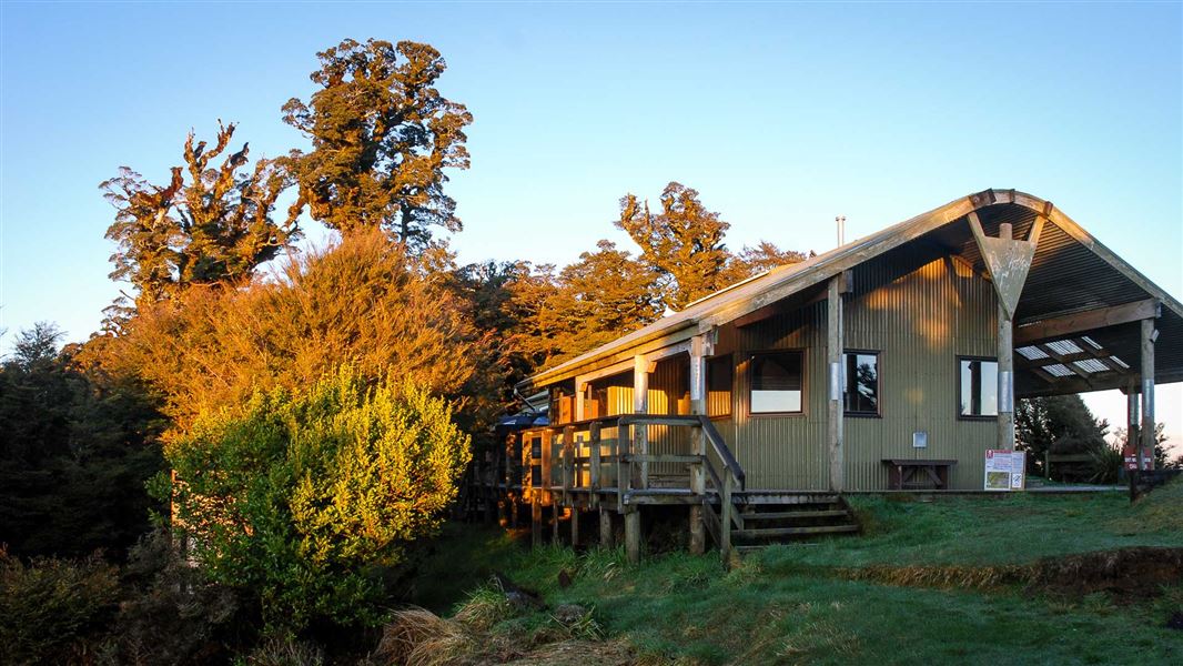
Panekire Hut
Great Walk hutTe Urewera, East CoastDOC data as at 20 September 2026
Current advisories
Te Urewera alerts
05 June 2026
Check Ngāi Tūhoe website for alerts before your trip. Alerts will be not typically be posted on this website. Visitors can also phone Ngāi Tūhoe on +64 6 837 3803 or email teureweravc@ngaituhoe.iwi.nz for information. First published on 17 October 2022. Last reviewed on 6 June 2026.
Source: DOC Te Papa Atawhai alerts.
About this place
This is a 36-bunk hut located on the Waikaremoana Track in the Te Urewera area.
Know before you go
Weather forecast
Panekire Hut weather forecast – NIWA website
Source: DOC Te Papa Atawhai.
Trip options
Walking times computed leg by leg from DOC track descriptions, from car-accessible trailheads.
2 options · 1 to 3 nights
Onepoto
Walking in
6 hr
Walking out
6 hr to Onepoto
Walking in
6 hr
Walking out
10 hr 30 min to Waiharuru Hut and Campsite (via Waiopaoa Hut and Campsite, Korokoro Campsite, Maraunui Campsite, Marauiti Hut)
Source: DOC Te Papa Atawhai track descriptions.
Fees and bookings
Backcountry Hut Passes and Backcountry Hut Tickets cannot be used at this hut.
Book Lake Waikaremoana huts and campsites online
Source: DOC Te Papa Atawhai.
Getting there
- Topo map
- Topo50 sheet BG40
Source: DOC Te Papa Atawhai.
Contact
Te Urewera Visitor Centre
Te Kura Whenua, 6249 Lake Road/SH38, Waikaremoana 4195, Te Urewera
Regional DOC service centre.
Nearby stops

All details
- Facilities
- HeatingMattressesToilets - non-flushWater from tap - not treatedboil before useWater supply
- Bookable
- Yes
- Category
- Great Walk
- Location
- Te Urewera
- Fireplace
- Yes
- Mattress
- Yes
- Capacity
- 36
- Toilets
- Yes
- Drinking water
- untreated
- Reservations
- required
- Website
- This place on doc.govt.nz
- Source data
- View source data
Map and tracks
Track lines: DOC Te Papa Atawhai. Map data © OpenStreetMap contributors.38.81239° S, 177.05186° E
Something not right?
Closed, moved, wrong facts, or you know something we do not. Change only what you know is wrong or missing; a person checks it before it goes live. Or email us about this place.
Sources
- OpenStreetMap Huts · ODbL (Open Database License)Contains information from OpenStreetMap, made available under the ODbL.
- DOC Huts · CC BY 4.0Data sourced from the Department of Conservation (DOC), New Zealand.
- DOC Huts (API) · CC BY 4.0Crown Copyright: Department of Conservation Te Papa Atawhai. Data sourced from the DOC Developer Portal (api.doc.govt.nz).