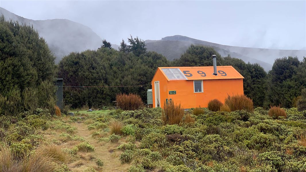
Porters Creek Hut
Standard hutMount Richmond Forest Park, Nelson/TasmanDOC data as at 20 September 2026
Current advisories
Wilding conifer control operation for Motueka Gorge and Red Hills
24 July 2026
There will be a helicopter spot-spraying herbicide onto wilding conifers on the hills surrounding the Motueka Gorge and Hunter's Hut over several fine weather days, from 4 August to 25 October 2026. The herbicide ingredients are triclopyr and biodiesel. The target wilding conifer species are individual plants of Douglas fir and contorta pine. See the operation maps (PDF, 320K) for the locations of the spraying (shaded blue), and do not enter these areas off-track while a helicopter is operating. Signage will be in place at main entry points. The work is set-back from tracks and it is safe to use marked tracks while a helicopter is working. For more information contact Marty Kelliher: Email marty.kelliher@pfolsen.com or phone 0275480725. First published on 25 July 2026.
Source: DOC Te Papa Atawhai alerts.
About this place
This is a standard 6-bunk hut in the Motueka area.
Trip options
Walking times computed leg by leg from DOC track descriptions, from car-accessible trailheads.
8 options · 2 to 9 nights
Mid Wairoa Hut
Walking in
13 hr 30 min (via Top Wairoa Hut, Hunters Hut)
Walking out
8 hr to SH63 (via Red Hills Hut)
Tracks used: Red Hills Route → Richmond Ranges Te Araroa route
Walking in
13 hr 30 min (via Top Wairoa Hut, Hunters Hut)
Walking out
9 hr 30 min to Tophouse Road (via Red Hills Hut)
Walking in
13 hr 30 min (via Top Wairoa Hut, Hunters Hut)
Walking out
13 hr 30 min to Mid Wairoa Hut (via Top Wairoa Hut, Hunters Hut)
Tracks used: Red Hills Route → Richmond Ranges Te Araroa route
Walking in
13 hr 30 min (via Top Wairoa Hut, Hunters Hut)
Walking out
49 hr to Roadend (via Captains Creek Hut, Middy Creek Hut, Rocks Hut, Browning Hut, Hacket Hut, Starveall Hut, Slaty Hut, Old Man Hut, Mt Rintoul Hut, Tarn Hut, Mid Wairoa Hut, Hunters Hut)
Tophouse Road
Tracks used: Red Hills Route → Richmond Ranges Te Araroa route
Walking in
9 hr 30 min (via Red Hills Hut)
Walking out
13 hr 30 min to Mid Wairoa Hut (via Top Wairoa Hut, Hunters Hut)
Roadend
Tracks used: Red Hills Route → Richmond Ranges Te Araroa route
Walking in
49 hr (via Captains Creek Hut, Middy Creek Hut, Rocks Hut, Browning Hut, Hacket Hut, Starveall Hut, Slaty Hut, Old Man Hut, Mt Rintoul Hut, Tarn Hut, Mid Wairoa Hut, Hunters Hut)
Walking out
8 hr to SH63 (via Red Hills Hut)
Walking in
49 hr (via Captains Creek Hut, Middy Creek Hut, Rocks Hut, Browning Hut, Hacket Hut, Starveall Hut, Slaty Hut, Old Man Hut, Mt Rintoul Hut, Tarn Hut, Mid Wairoa Hut, Hunters Hut)
Walking out
9 hr 30 min to Tophouse Road (via Red Hills Hut)
Walking in
49 hr (via Captains Creek Hut, Middy Creek Hut, Rocks Hut, Browning Hut, Hacket Hut, Starveall Hut, Slaty Hut, Old Man Hut, Mt Rintoul Hut, Tarn Hut, Mid Wairoa Hut, Hunters Hut)
Walking out
49 hr to Roadend (via Captains Creek Hut, Middy Creek Hut, Rocks Hut, Browning Hut, Hacket Hut, Starveall Hut, Slaty Hut, Old Man Hut, Mt Rintoul Hut, Tarn Hut, Mid Wairoa Hut, Hunters Hut)
Source: DOC Te Papa Atawhai track descriptions.
Fees and bookings
Before you go, buy Hut Tickets for each night's stay. Put these in the honesty box at the hut. Or buy a Backcountry Hut Pass that gives unlimited use at most Standard and Serviced huts for a 12 month period. Retailers that sell hut tickets and passes Te Araroa – The Trail Pass Te Araroa Trail Pass
Source: DOC Te Papa Atawhai.
Getting there
- Topo map
- Topo50 sheet BR25
- Grid reference
- E1599710, N5388613
Source: DOC Te Papa Atawhai.
On these tracks
Source: DOC Te Papa Atawhai.
Contact
Nelson/Tasman/Marlborough information
Regional DOC service centre.
Nearby stops
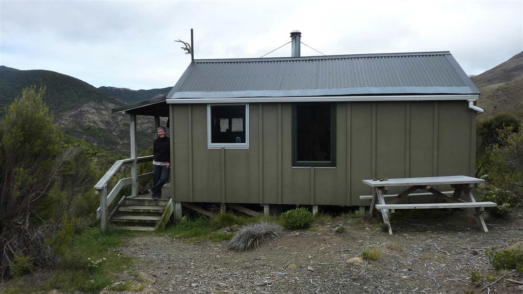
Hunters Hut
Standard • 8 bunks • Nelson/Tasman • 6 km
Heating • Mattresses • Toilets - non-flush
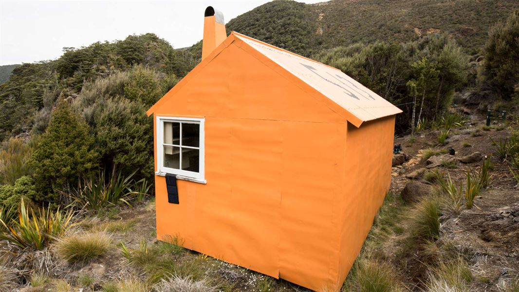
Top Wairoa Hut
Standard • 6 bunks • Nelson/Tasman • 8 km
Heating • Mattresses • Toilets - non-flush
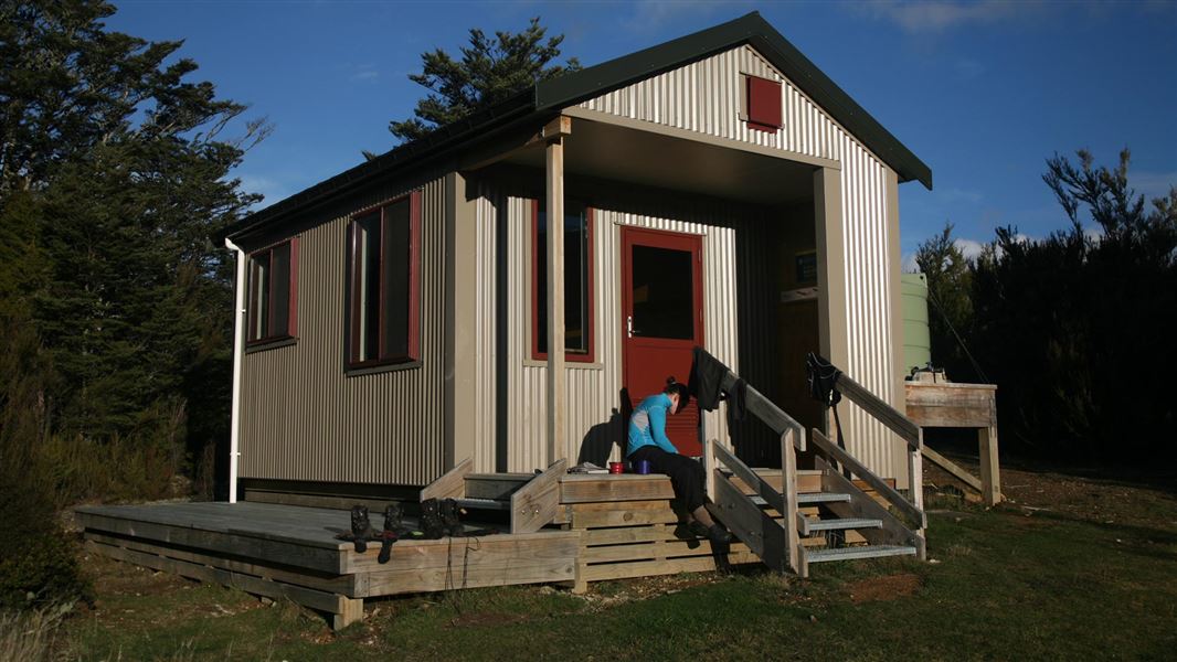
Red Hills Hut
Standard • 6 bunks • Nelson/Tasman • 8.6 km
Mattresses • Toilets - non-flush • Water from tap - not treated
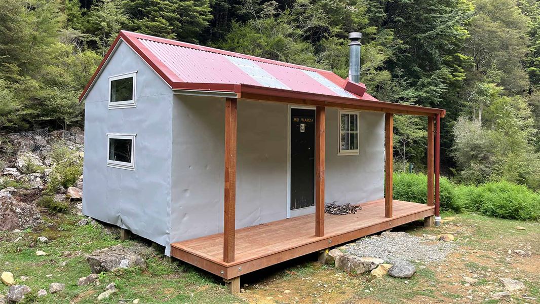
Mid Wairoa Hut
Standard • 8 bunks • Nelson/Tasman • 13.8 km
Heating • Mattresses • Toilets - non-flush
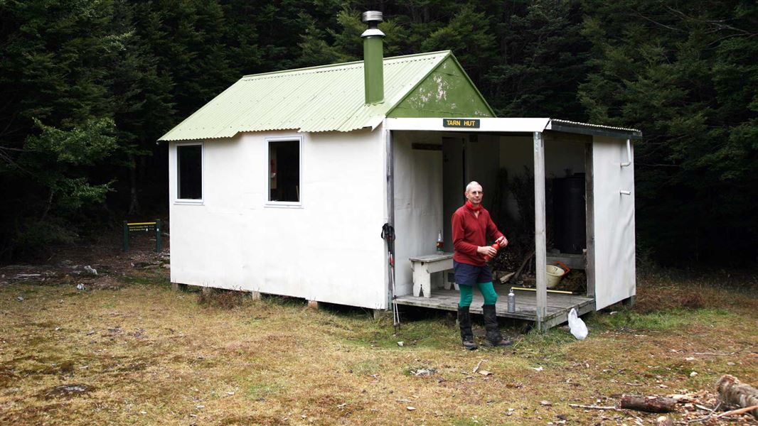
Tarn Hut
Standard • 5 bunks • Marlborough • 18.2 km
Heating • Mattresses • Toilets - non-flush
All details
- Facilities
- HeatingMattressesToilets - non-flushWater from streamWater supply
- Bookable
- No
- Category
- Standard
- Location
- Mount Richmond Forest Park
- Fireplace
- Yes
- Mattress
- Yes
- Capacity
- 6
- Toilets
- Yes
- Drinking water
- No
- Reservations
- No
- Fee
- Yes
- Website
- This place on doc.govt.nz
- Source data
- View source data
Map and tracks
Track lines: DOC Te Papa Atawhai. Map data © OpenStreetMap contributors.41.65357° S, 172.99726° E
Something not right?
Closed, moved, wrong facts, or you know something we do not. Change only what you know is wrong or missing; a person checks it before it goes live. Or email us about this place.
Sources
- DOC Huts (API) · CC BY 4.0Crown Copyright: Department of Conservation Te Papa Atawhai. Data sourced from the DOC Developer Portal (api.doc.govt.nz).
- DOC Huts · CC BY 4.0Data sourced from the Department of Conservation (DOC), New Zealand.
- OpenStreetMap Huts · ODbL (Open Database License)Contains information from OpenStreetMap, made available under the ODbL.