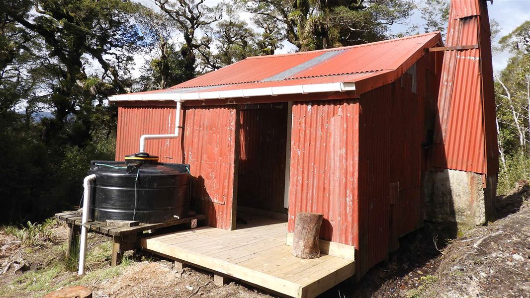
Renata Hut
Basic/bivvies hutTararua Forest Park, Wellington/KapitiDOC data as at 20 September 2026
Current advisories
Ungulate control for parts of Tararua Forest Park
03 August 2026
Ungulate (goats, deer, pigs) control work will take place from 10 August 2026 to 30 June 2027. The operation will include both aerial shooting and ground hunting with indicator dogs, thermal drone assistance as well as aerial surveillance and trail cameras for monitoring. The operation is shown on the map in the solid pink and solid yellow buffer zones. Tararua Forest Park ungulate operation area map (PDF, 137K) First published on 22 January 2026. Last reviewed on 4 August 2026.
Predator control for Southern Tararuas
20 May 2026
DOC and OSPRI distributed toxic cereal bait pellets by helicopter in this area on 11 and 23 March 2026. A caution period is in place for approximately 8 months. Visitors are advised not to take dogs into the area until the caution period has ended. 1080 is deadly to dogs. How to keep dogs safe around 1080 . View the distribution map (PDF, 2749K) . View the pesticide summary map First published on 3 March 2026. Last reviewed on 21 May 2026.
Source: DOC Te Papa Atawhai alerts.
About this place
This is a basic six-bunk hut in the Kapiti region.
Fees and bookings
Free
Source: DOC Te Papa Atawhai.
Getting there
- Topo map
- Topo50 sheet BP33
- Grid reference
- E1782781, N5462584
Source: DOC Te Papa Atawhai.
Contact
Wellington/Kapiti information
Regional DOC service centre.
Nearby stops
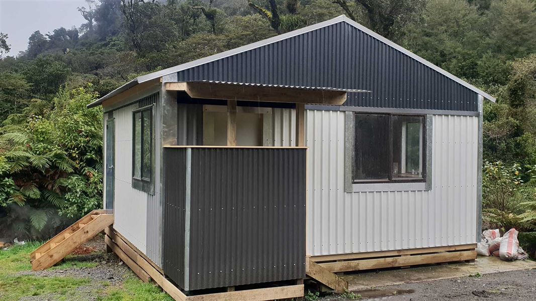
Waiotauru Hut
Basic/bivvies • 4 bunks • Wellington/Kapiti • 3.4 km
Toilets - non-flush • Water from stream • Water supply
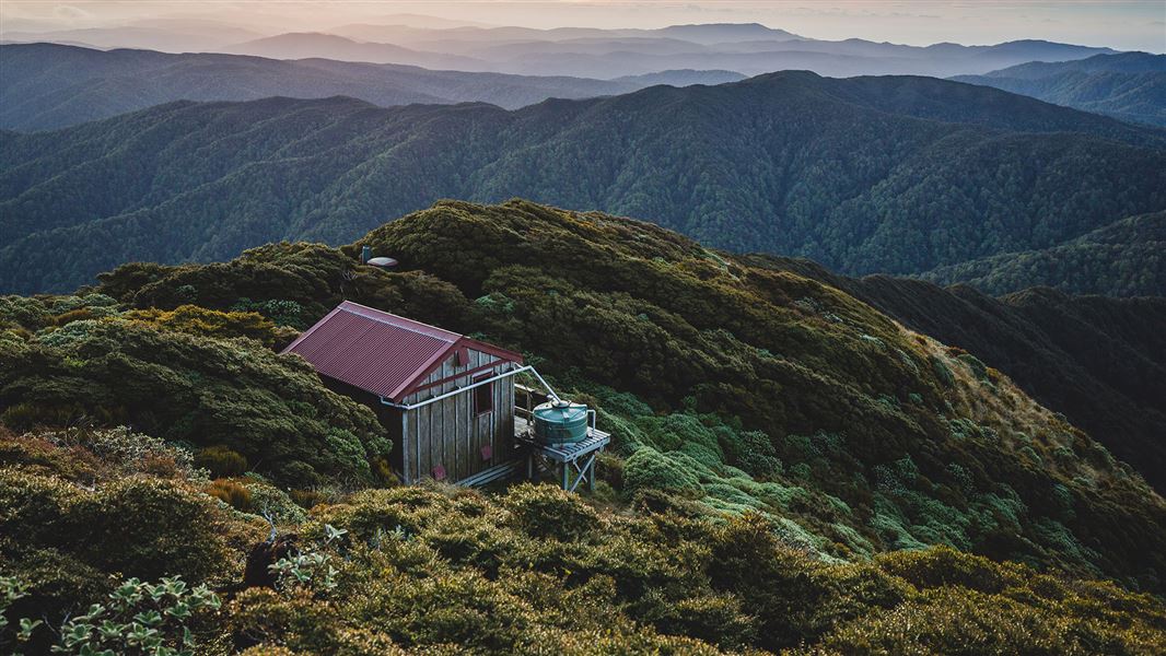
Elder Hut
Standard • 4 bunks • Wellington/Kapiti • 5 km
Mattresses • Toilets - non-flush • Water from tap - not treated
Unnamed campsite
Wellington • 5.7 km
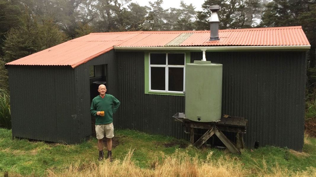
Kapakapanui Hut
Standard • 6 bunks • Wellington/Kapiti • 5.9 km
Heating • Mattresses • Toilets - non-flush
Ngatiawa River Monastery
Wellington • 7.8 km
All details
- Facilities
- HeatingToilets - non-flushWater from tap - not treatedboil before useWater supply
- Bookable
- No
- Category
- Basic/bivvies
- Location
- Tararua Forest Park
- Fireplace
- Yes
- Mattress
- No
- Capacity
- 6
- Toilets
- Yes
- Drinking water
- untreated
- Reservations
- No
- Website
- This place on doc.govt.nz
- Source data
- View source data
Map
Map data © OpenStreetMap contributors.40.96833° S, 175.17260° E
Something not right?
Closed, moved, wrong facts, or you know something we do not. Change only what you know is wrong or missing; a person checks it before it goes live. Or email us about this place.
Sources
- OpenStreetMap Huts · ODbL (Open Database License)Contains information from OpenStreetMap, made available under the ODbL.
- DOC Huts (API) · CC BY 4.0Crown Copyright: Department of Conservation Te Papa Atawhai. Data sourced from the DOC Developer Portal (api.doc.govt.nz).
- DOC Huts · CC BY 4.0Data sourced from the Department of Conservation (DOC), New Zealand.