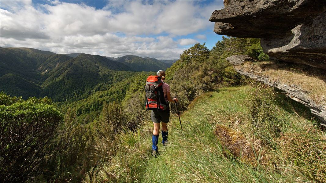
Ruahine Corner to Rangitane Road
TrackHawke’s BayDOC data as at 20 September 2026
About this place
An excellent but strenuous trip in the remote north western Ruahine Forest Park renowned for its scenery and ecological values. Fly in by helicopter and walk out.
Nearby stops
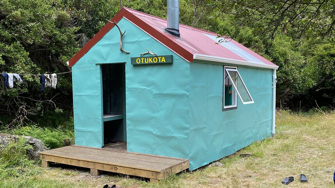
Otukota Hut
Standard • 6 bunks • Manawatu/Whanganui • 1.2 km
Heating • Mattresses • Toilets - non-flush
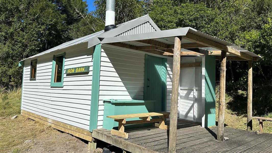
Iron Bark Hut
Standard • 6 bunks • Manawatu/Whanganui • 1.5 km
Heating • Mattresses • Toilets - non-flush
Unknown Campsite
Manawatū-Whanganui • 2.3 km
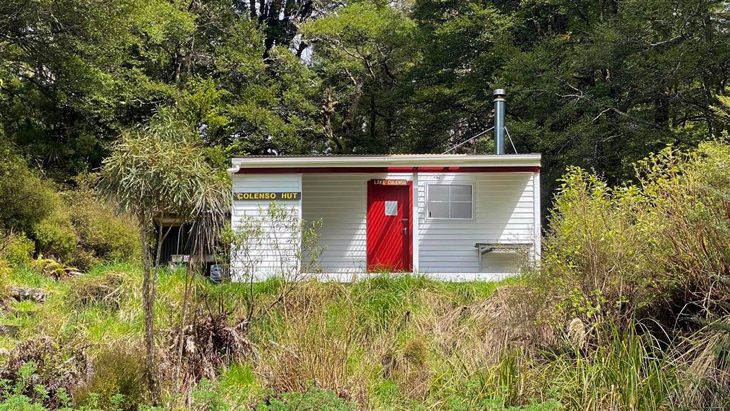
Colenso Hut
Standard • 8 bunks • Manawatu/Whanganui • 4.7 km
Heating • Mattresses • Toilets - non-flush
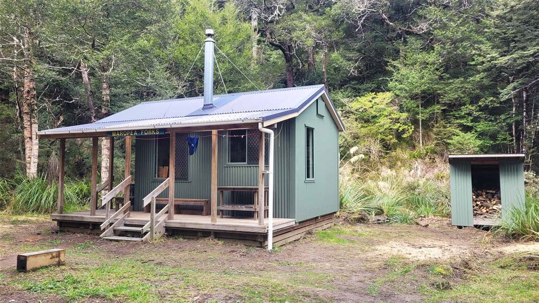
Maropea Forks Hut
Standard • 6 bunks • Manawatu/Whanganui • 5.4 km
Heating • Mattresses • Toilets - non-flush
All details
- Dogs
- Dogs with a DOC permit for recreational hunting or management purposes only. Other pets on conservation land rules.
- Track type
- Advanced
- Walking time
- 4 days
- Source data
- View source data
Map
Map data © OpenStreetMap contributors.39.69469° S, 176.09489° E
Something not right?
Closed, moved, wrong facts, or you know something we do not. Change only what you know is wrong or missing; a person checks it before it goes live. Or email us about this place.
Sources
- DOC Tracks (API) · CC BY 4.0Crown Copyright: Department of Conservation Te Papa Atawhai. Data sourced from the DOC Developer Portal (api.doc.govt.nz).