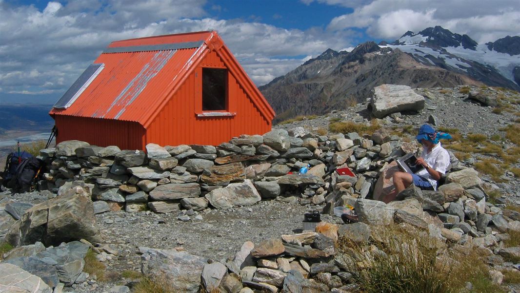
Sefton Bivouac
Basic/bivvies hutAoraki/Mount Cook National Park, CanterburyDOC data as at 20 September 2026
About this place
Sefton Bivouac is the oldest hut in Aoraki/Mount Cook National Park still on its original site and the oldest building in the wider environs of the park. It has served generations of climbers.
Know before you go
Challenging route
The route to Sefton Biv is unmarked. Route finding and moving through steep terrain (with high consequence of falls) are required to reach the biv. Reaching the biv in winter requires a good level of mountaineering experience, route finding skills and avalanche knowledge. Call in to the Aoraki/Mount Cook Visitor Centre for advice on conditions.
Toilet
There is an open air, self-contained toilet known as a Denali 400 near the biv – this is basically a toilet seat on top of a big tank. Visitors are recommended to bring a compostable bag and poo pot or poo tube to transport your poo during snowy conditions. See toileting in the outdoors .
Source: DOC Te Papa Atawhai.
Fees and bookings
Free
Source: DOC Te Papa Atawhai.
Getting there
- Topo map
- Topo50 sheet BX15
Source: DOC Te Papa Atawhai.
Contact
Aoraki/Mount Cook National Park Visitor Centre
1 Larch Grove, Aoraki/Mount Cook 7999
Regional DOC service centre.
Nearby stops
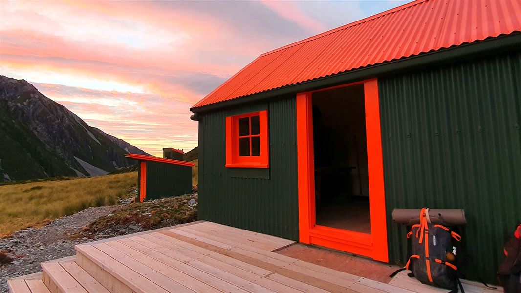
Hooker Hut
Serviced • 8 bunks • Canterbury • 1.8 km
Cooking • Heating • Mattresses
Bivouac site
Canterbury • 3.3 km
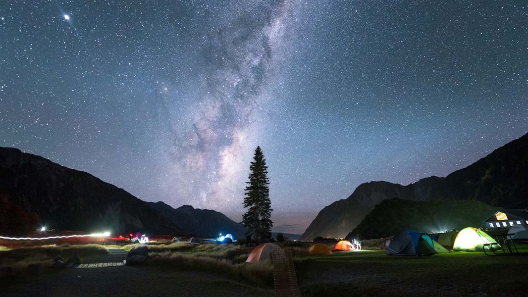
White Horse Hill Campground
Standard • Canterbury • 3.6 km
Non-powered/tent sites • Shelter for cooking • Toilets - flush
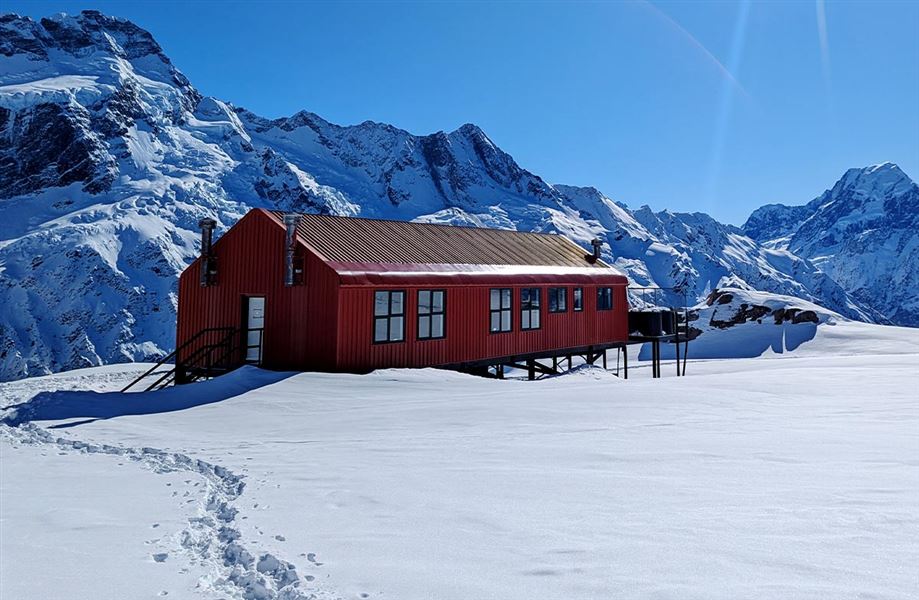
Mueller Hut
Serviced Alpine • 28 bunks • Canterbury • 3.8 km
Cooking • Mattresses • Lighting
Hooker Hut (removed)
Canterbury • 4 km
All details
- Facilities
- Toilets - non-flushWater from tap - not treatedboil before useWater supply
- Bookable
- No
- Category
- Basic/bivvies
- Location
- Aoraki/Mount Cook National Park
- Fireplace
- No
- Mattress
- No
- Capacity
- 4
- Toilets
- Yes
- Drinking water
- untreated
- Reservations
- No
- Website
- This place on doc.govt.nz
- Source data
- View source data
Map
Map data © OpenStreetMap contributors.43.68788° S, 170.07584° E
Something not right?
Closed, moved, wrong facts, or you know something we do not. Change only what you know is wrong or missing; a person checks it before it goes live. Or email us about this place.
Sources
- DOC Huts · CC BY 4.0Data sourced from the Department of Conservation (DOC), New Zealand.
- DOC Huts (API) · CC BY 4.0Crown Copyright: Department of Conservation Te Papa Atawhai. Data sourced from the DOC Developer Portal (api.doc.govt.nz).
- OpenStreetMap Huts · ODbL (Open Database License)Contains information from OpenStreetMap, made available under the ODbL.