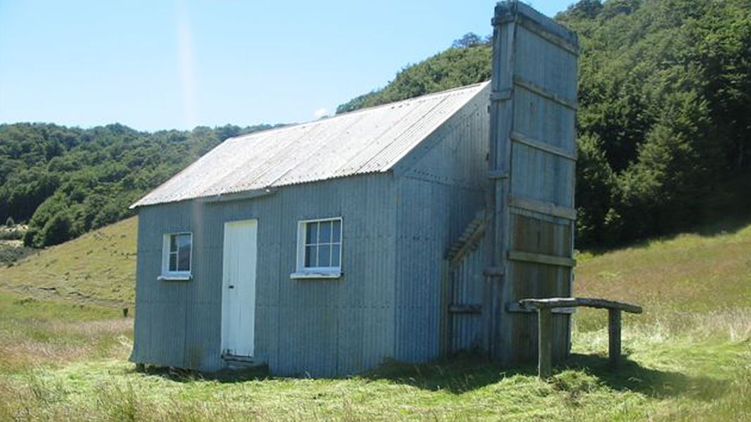
Upper Oreti Hut
Basic/bivvies hutEyre Mountains/Taka Rā Haka Conservation Park, SouthlandDOC data as at 20 September 2026
Current advisories
Predator control for Upper Oreti and Eyre Creek, Eyre Mountains Conservation Park and Snowdon Forest Conservation Area
05 July 2026
A predator control operation using toxic meat baits containing 1080 was completed on 3 March 2026. Upper Oreti and Eyre Creek and Eyre Mountains Conservation Park are open with warning signs in place at key entrances. The toxin is poisonous to animals – this includes humans and domestic animals. Dogs are particularly susceptible to sodium fluoroacetate, we do not recommend taking dogs into these treated areas. Observe the following rules when you see warning signs as they indicate that pesticide residues may remain in baits and carcasses. Always remember: Do not touch or eat the bait. Watch children at all times. Do not eat animals from this area. Toxic baits and carcasses are deadly to dogs. If you suspect poisoning always contact your local doctor, local hospital, or the National Poisons Centre. Phone: 0800 764 766 or dial 111. This operation is part of DOC's National Predator Control Programme to protect native species. First published on 26 January 2026. Last reviewed on 6 July 2026.
Source: DOC Te Papa Atawhai alerts.
About this place
This is a basic hut in the Eyre Mountain/ Taka Ra Haka Conservation Park.
Know before you go
The access track requires a stream crossing
There is a stream to cross with 4WD before the hut. After high rainfall this may difficult to cross and the ground can be soft.
Source: DOC Te Papa Atawhai.
Contact
Te Rua-o-te-moko/Fiordland National Park Visitor Centre
1 Lakefront Drive, Te Anau 9600
Regional DOC service centre.
Nearby stops
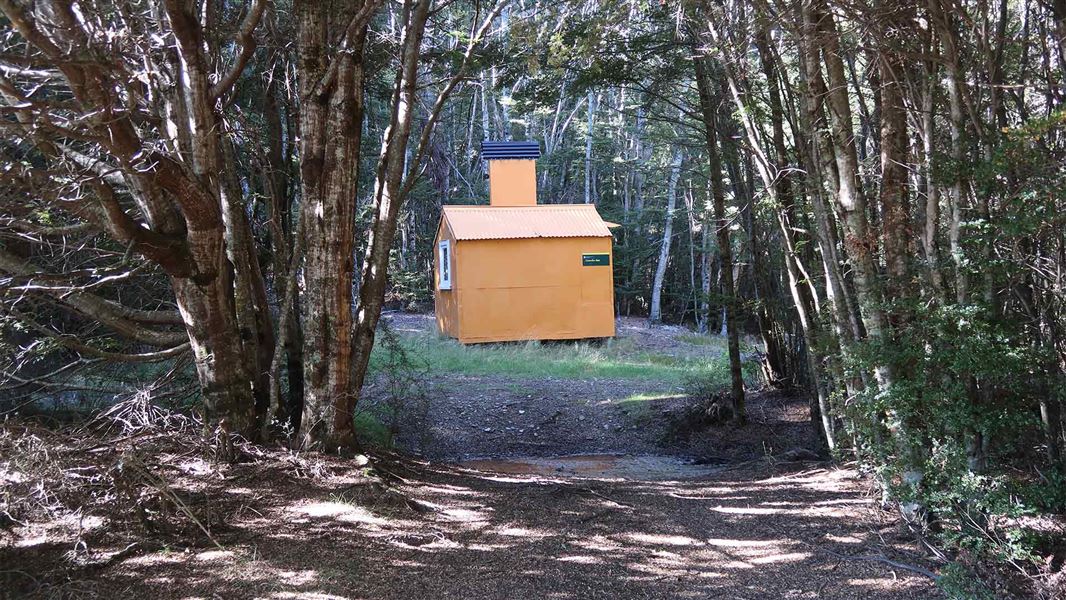
Lincoln Hut
Basic/bivvies • 2 bunks • Southland • 2.3 km
Heating • Mattresses • Toilets - non-flush
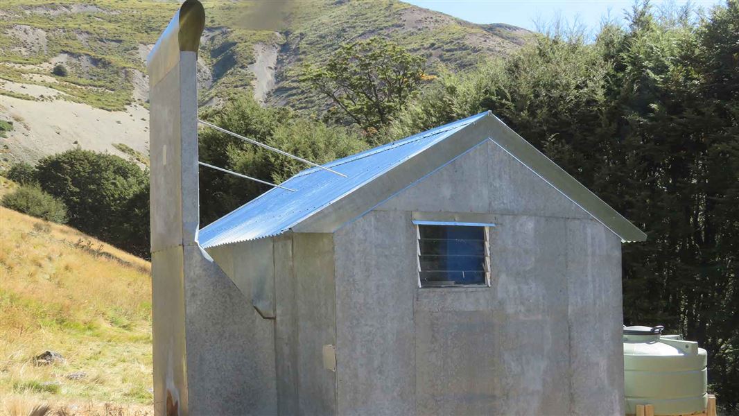
Ashton Hut
Basic/bivvies • 4 bunks • Southland • 4.1 km
Heating • Mattresses • Toilets - non-flush
Mavora Lake DoC camping
Southland • 7.2 km
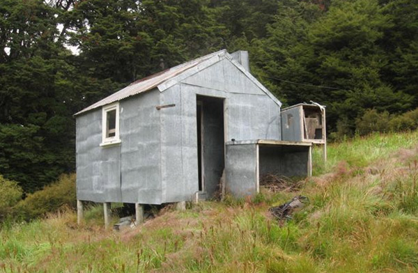
Upper Windley Hut
Basic/bivvies • 4 bunks • Southland • 7.3 km
Mattresses • Toilets - non-flush • Water from stream
Unnamed hut
Southland • 7.8 km
All details
- Facilities
- MattressesToilets - non-flushWater from streamWater supply
- Bookable
- No
- Category
- Basic/bivvies
- Location
- Eyre Mountains/Taka Rā Haka Conservation Park
- Capacity
- 6
- Source data
- View source data
- road access
- 1-3 hours
Map
Map data © OpenStreetMap contributors.45.37540° S, 168.21784° E
Something not right?
Closed, moved, wrong facts, or you know something we do not. Change only what you know is wrong or missing; a person checks it before it goes live. Or email us about this place.
Sources
- OpenStreetMap Huts · ODbL (Open Database License)Contains information from OpenStreetMap, made available under the ODbL.
- DOC Huts (API) · CC BY 4.0Crown Copyright: Department of Conservation Te Papa Atawhai. Data sourced from the DOC Developer Portal (api.doc.govt.nz).
- DOC Huts · CC BY 4.0Data sourced from the Department of Conservation (DOC), New Zealand.