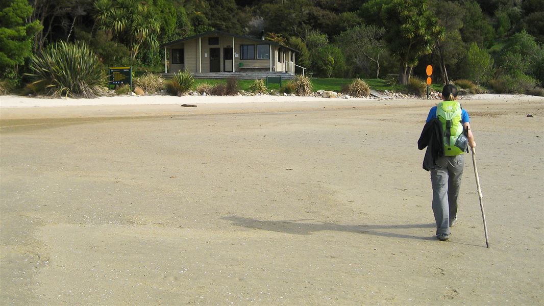
Awaroa Hut
Great Walk hutAbel Tasman National Park, Nelson/TasmanDOC data as at 20 September 2026
Current advisories
Wilding conifer control in Abel Tasman National Park
06 September 2026
A helicopter will be spraying individual wilding conifer trees in Abel Tasman National Park between Bark Bay and Awaroa over several days between 9 September to 31 October 2026. The herbicide will be applied directly to individual trees from a hovering helicopter. The spray area will be at least 50 metres from tracks. First published on 7 September 2026.
Source: DOC Te Papa Atawhai alerts.
About this place
This is a 26-bunk hut located on the Abel Tasman Coast Track in the Golden Bay area.
Trip options
Walking times computed leg by leg from DOC track descriptions, from car-accessible trailheads.
2 options · 2 to 3 nights
Marahau
Walking in
8 hr 30 min
Walking out
7 hr 35 min to Wainui
Walking in
8 hr 30 min
Walking out
8 hr 30 min to Marahau
Source: DOC Te Papa Atawhai track descriptions.
Fees and bookings
Backcountry Hut Passes and Backcountry Hut Tickets cannot be used at this hut.
Book Abel Tasman Coast Track huts and campsites online
Source: DOC Te Papa Atawhai.
Getting there
- Topo map
- Topo50 sheet BP25
Source: DOC Te Papa Atawhai.
On these tracks
Source: DOC Te Papa Atawhai.
Contact
Nelson/Tasman/Marlborough information
Regional DOC service centre.
Nearby stops
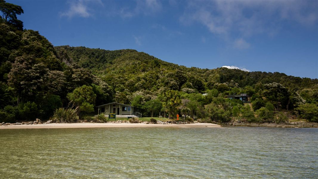
Awaroa Campsite
Great Walk • Nelson/Tasman • 0.1 km
Fire pit/place for campfires (except in fire bans) • Non-powered/tent sites • Shelter for cooking
Awaroa Glamping
Tasman • 1.5 km
Waiharakeke Bay Campsite
Great Walk • Nelson/Tasman • 1.8 km
Fire pit/place for campfires (except in fire bans) • Non-powered/tent sites • Toilets - flush
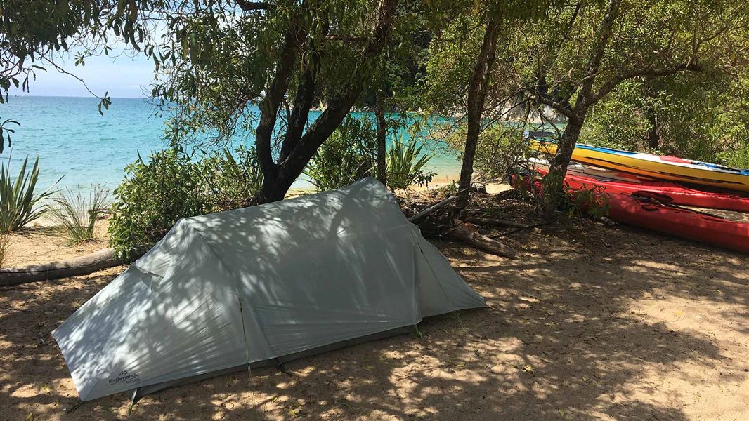
Onetahuti Bay Campsite
Great Walk • Nelson/Tasman • 3.6 km
Non-powered/tent sites • Shelter for cooking • Toilets - flush
Tōtaranui Campground
Great Walk • Nelson/Tasman • 5.3 km
Boat launching • Fire pit/place for campfires (except in fire bans) • Dump station
All details
- Facilities
- HeatingMattressesToilets - flushWater from tap - not treatedboil before useWater supply
- Bookable
- Yes
- Category
- Great Walk
- Location
- Abel Tasman National Park
- Fireplace
- Yes
- Mattress
- Yes
- Capacity
- 26
- Toilets
- Yes
- Drinking water
- untreated
- Reservations
- required
- Fee
- Yes
- Website
- This place on doc.govt.nz
- Source data
- View source data
Map and tracks
Track lines: DOC Te Papa Atawhai. Map data © OpenStreetMap contributors.40.86526° S, 173.01760° E
Something not right?
Closed, moved, wrong facts, or you know something we do not. Change only what you know is wrong or missing; a person checks it before it goes live. Or email us about this place.
Sources
- DOC Huts · CC BY 4.0Data sourced from the Department of Conservation (DOC), New Zealand.
- OpenStreetMap Huts · ODbL (Open Database License)Contains information from OpenStreetMap, made available under the ODbL.
- DOC Huts (API) · CC BY 4.0Crown Copyright: Department of Conservation Te Papa Atawhai. Data sourced from the DOC Developer Portal (api.doc.govt.nz).