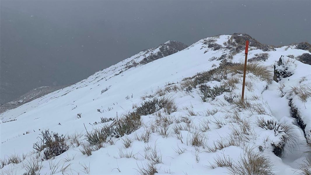
Brewster Track
TrackWest CoastDOC data as at 20 September 2026
About this place
The track starts on State Highway 6, crosses the unbridged Haast River, and climbs steadily through beech forest to the bush line. The track ends at Brewster Hut.
Nearby stops

Brewster Hut
Serviced Alpine • 12 bunks • Otago • 1.1 km
Mattresses • Toilets - non-flush • Water from tap - not treated
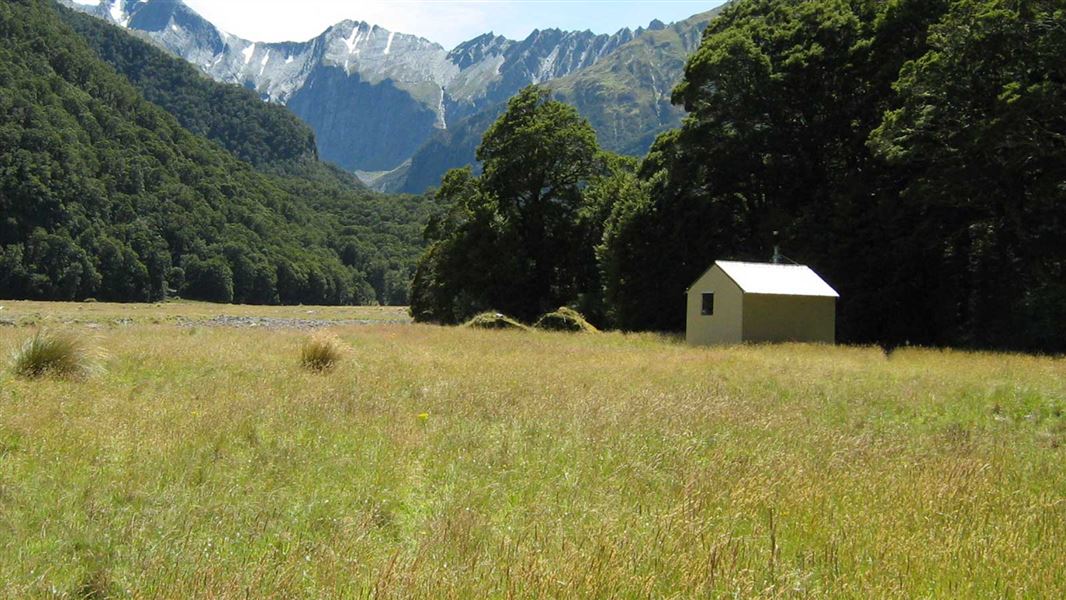
Makarora Hut
Standard • 4 bunks • Otago • 6 km
Heating • Mattresses • Toilets - non-flush
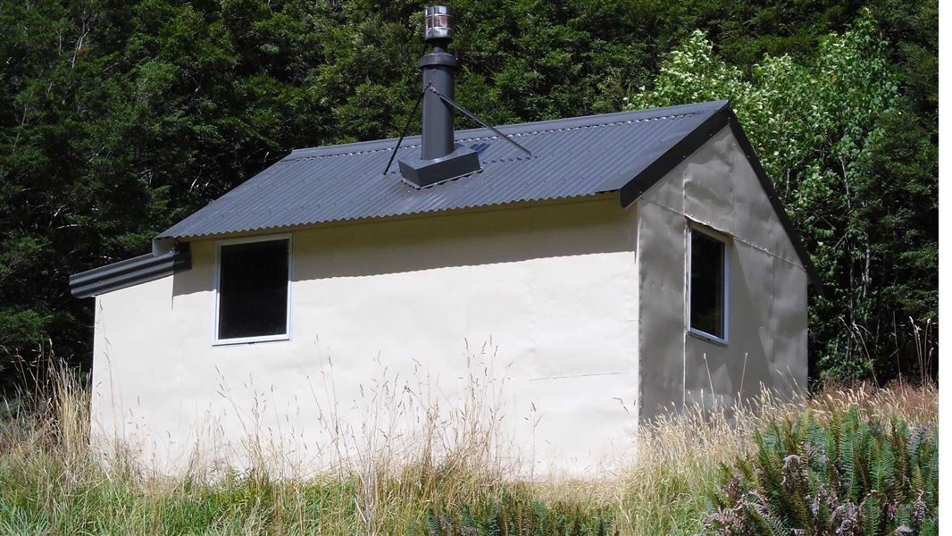
Wills Hut
Standard • 4 bunks • West Coast • 6.9 km
Heating • Mattresses • Toilets - non-flush
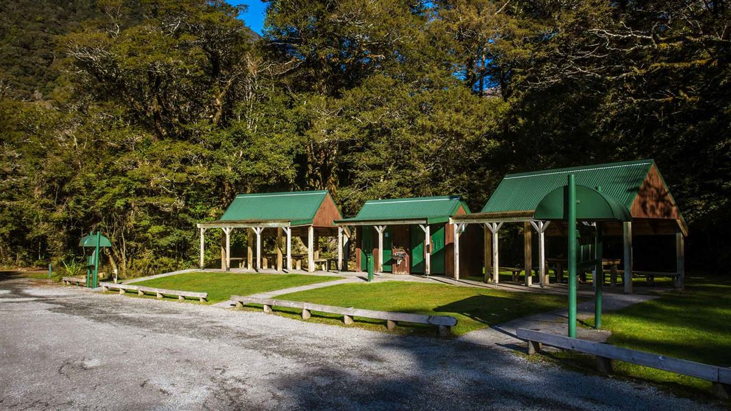
Pleasant Flat Campsite
Standard • Otago • 8.2 km
Non-powered/tent sites • Shelter for cooking • Toilets - flush
Unnamed hut
Otago • 8.7 km
All details
- Dogs
- No dogs. Other pets on conservation land rules.
- Track type
- Advanced
- Walking time
- 6 – 8 hr return
- Distance
- 5 km
- Trail network
- lwn
- Source data
- View source data
Map
Map data © OpenStreetMap contributors.44.08427° S, 169.39893° E
Something not right?
Closed, moved, wrong facts, or you know something we do not. Change only what you know is wrong or missing; a person checks it before it goes live. Or email us about this place.
Sources
- OpenStreetMap Trails · ODbL (Open Database License)Contains information from OpenStreetMap, made available under the ODbL.
- DOC Tracks (API) · CC BY 4.0Crown Copyright: Department of Conservation Te Papa Atawhai. Data sourced from the DOC Developer Portal (api.doc.govt.nz).