Kapakapanui Track
TrackWellington/KapitiDOC data as at 20 September 2026
About this place
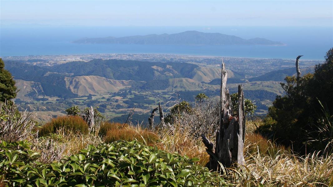
The open summit of Kapakapanui is one of the best viewpoints in the Tararua Range.
Nearby stops
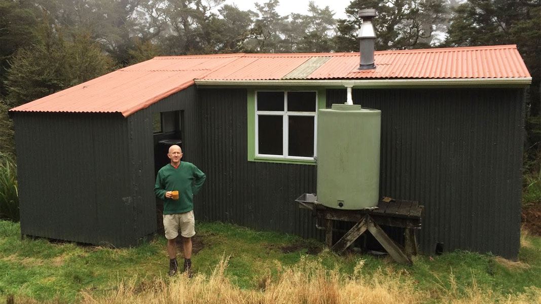
Kapakapanui Hut
Standard • 6 bunks • Wellington/Kapiti • 1.4 km
Heating • Mattresses • Toilets - non-flush
Ngatiawa River Monastery
Wellington • 1.7 km
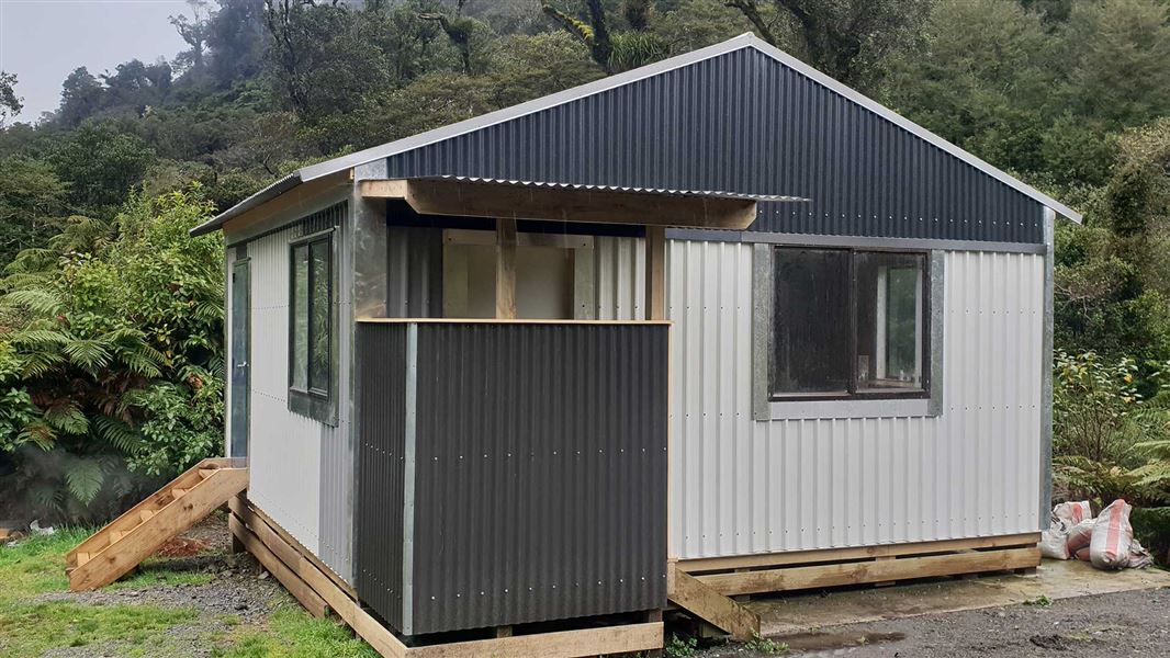
Waiotauru Hut
Basic/bivvies • 4 bunks • Wellington/Kapiti • 4.6 km
Toilets - non-flush • Water from stream • Water supply
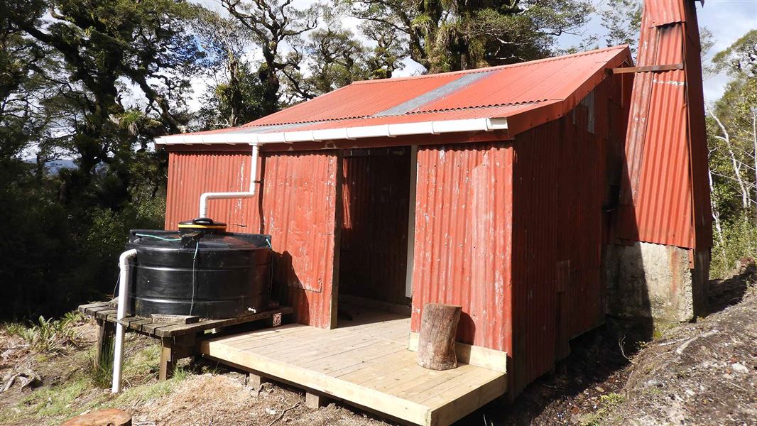
Renata Hut
Basic/bivvies • 6 bunks • Wellington/Kapiti • 6.3 km
Heating • Toilets - non-flush • Water from tap - not treated
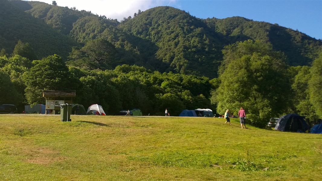
Ōtaki Forks Campsite
Standard • Wellington/Kapiti • 8.1 km
Non-powered/tent sites • Toilets - flush • Water from tap - not treated
All details
- Dogs
- Dogs on a leash only. Other pets on conservation land rules.
- Track type
- Advanced
- Walking time
- 7–9 hr loop from Ngatiawa Rd via summit
- Source data
- View source data
Map
Map data © OpenStreetMap contributors.40.91758° S, 175.13835° E
Something not right?
Closed, moved, wrong facts, or you know something we do not. Change only what you know is wrong or missing; a person checks it before it goes live. Or email us about this place.
Sources
- DOC Tracks (API) · CC BY 4.0Crown Copyright: Department of Conservation Te Papa Atawhai. Data sourced from the DOC Developer Portal (api.doc.govt.nz).