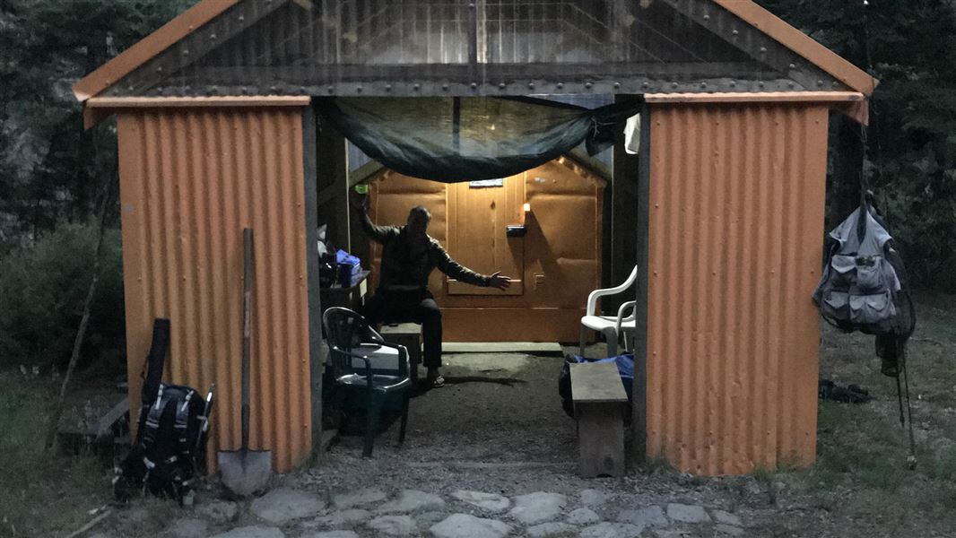
Omarukokere Bivvy
Basic/bivvies hutKaweka Forest Park, Hawke’s BayDOC data as at 20 September 2026
About this place
Omarukokere Bivouac is located opposite the confluence of the Ngaruroro River and the Omarukokere Stream.
Fees and bookings
Free
Source: DOC Te Papa Atawhai.
Getting there
- Topo map
- Topo50 sheet BJ37
- Grid reference
- E1884069, N5650308
Source: DOC Te Papa Atawhai.
Contact
DOC Customer Service Centre
Regional DOC service centre.
Nearby stops
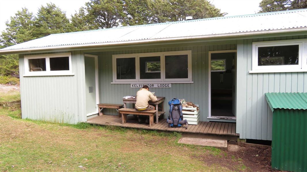
Venison Tops Hut (Tira Lodge)
Standard • 12 bunks • Hawke’s Bay • 2.5 km
Heating • Mattresses • Toilets - non-flush
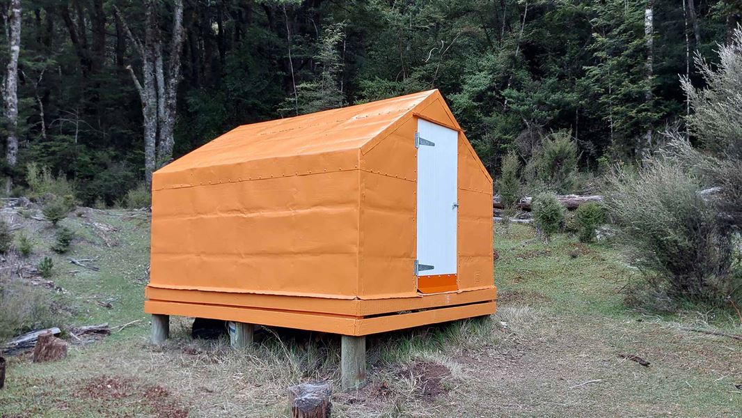
Rocks Ahead Bivouac
Standard • 4 bunks • Hawke’s Bay • 2.9 km
Mattresses • Toilets - non-flush • Water from stream
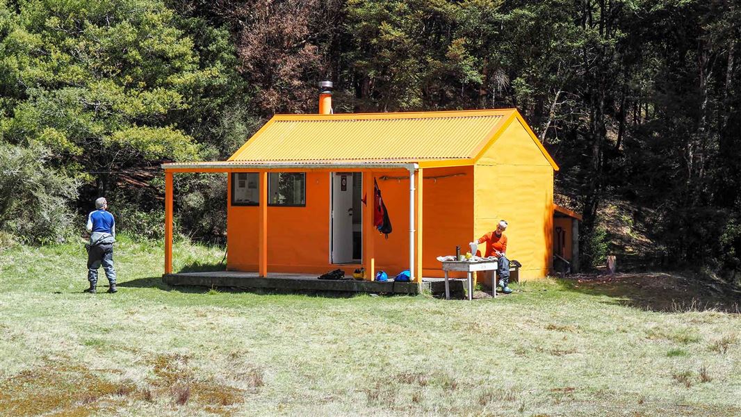
Ngaawapurua Hut
Standard • 6 bunks • Hawke’s Bay • 4.1 km
Heating • Mattresses • Toilets - non-flush
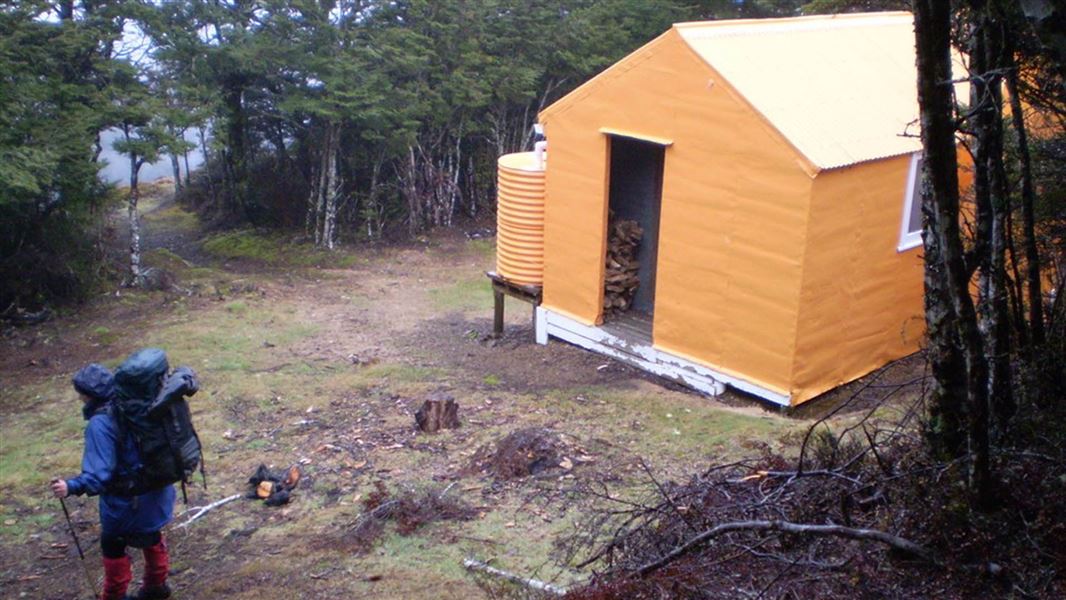
Mangaturutu Hut
Standard • 6 bunks • Hawke’s Bay • 4.7 km
Heating • Mattresses • Toilets - non-flush
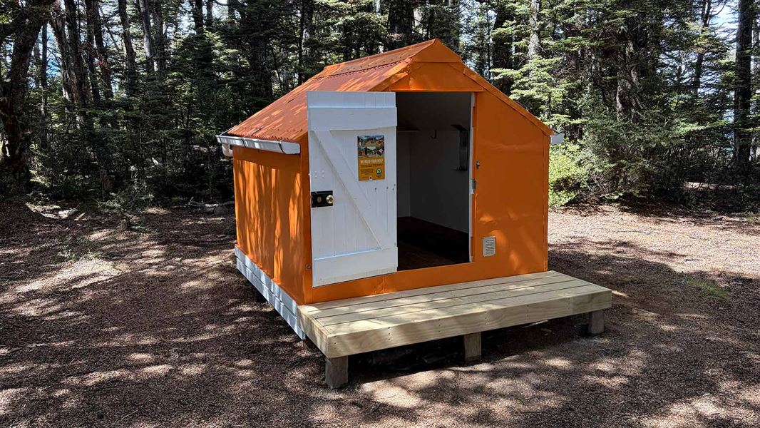
Manson Bivvy
Basic/bivvies • 2 bunks • Hawke’s Bay • 5.3 km
Mattresses • Toilets - non-flush • Water from tap - not treated
All details
- Facilities
- MattressesToilets - non-flushWater from streamWater supply
- Bookable
- No
- Category
- Basic/bivvies
- Location
- Kaweka Forest Park
- Capacity
- 2
- Source data
- View source data
Map
Map data © OpenStreetMap contributors.39.24943° S, 176.29190° E
Something not right?
Closed, moved, wrong facts, or you know something we do not. Change only what you know is wrong or missing; a person checks it before it goes live. Or email us about this place.
Sources
- DOC Huts · CC BY 4.0Data sourced from the Department of Conservation (DOC), New Zealand.
- DOC Huts (API) · CC BY 4.0Crown Copyright: Department of Conservation Te Papa Atawhai. Data sourced from the DOC Developer Portal (api.doc.govt.nz).