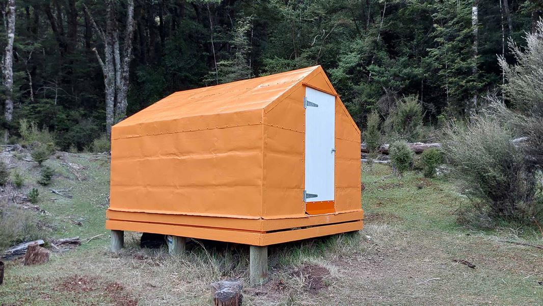
Rocks Ahead Bivouac
Standard hutKaweka Forest Park, Hawke’s BayDOC data as at 20 September 2026
About this place
Rocks Ahead Bivouac is located on the true right bank of the Ngaruroro River at the mid-western boundary of the area known as the 'Manson Country'.
Know before you go
Using the cableway
A cableway is used to cross rivers on this trip. Take time to read the on-site instructions and familiarise yourself with the operation of the cableway before crossing Use of this cableway carries risks, so follow the operating instructions carefully. It is recommended that you do not use this cableway unless part of a larger party or carrying a personal locator beacon (PLB). Never place your hands on main cable, and keep hands, clothing and long hair clear of all wheels. In the event of an emergency where the carriage becomes stuck, remain where you are and activate your PLB or have your party seek help.
Source: DOC Te Papa Atawhai.
Fees and bookings
Free
Source: DOC Te Papa Atawhai.
Getting there
- Topo map
- Topo50 sheet BJ37
- Grid reference
- E1884260, N5647449
Source: DOC Te Papa Atawhai.
Contact
DOC Customer Service Centre
Regional DOC service centre.
Nearby stops
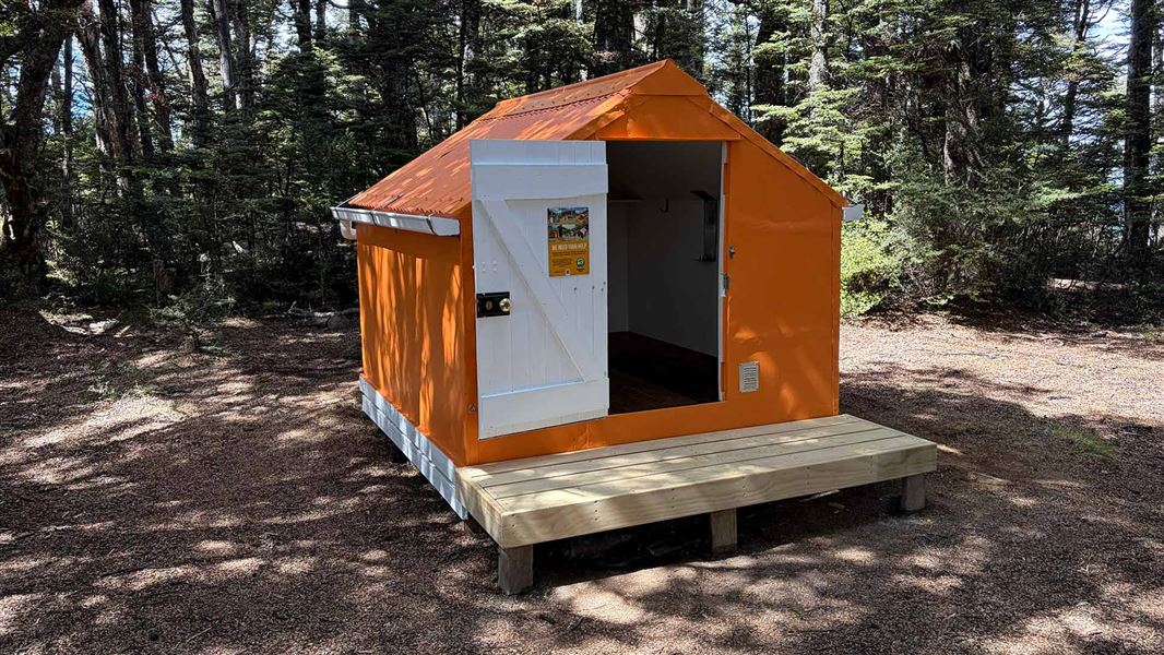
Manson Bivvy
Basic/bivvies • 2 bunks • Hawke’s Bay • 2.5 km
Mattresses • Toilets - non-flush • Water from tap - not treated
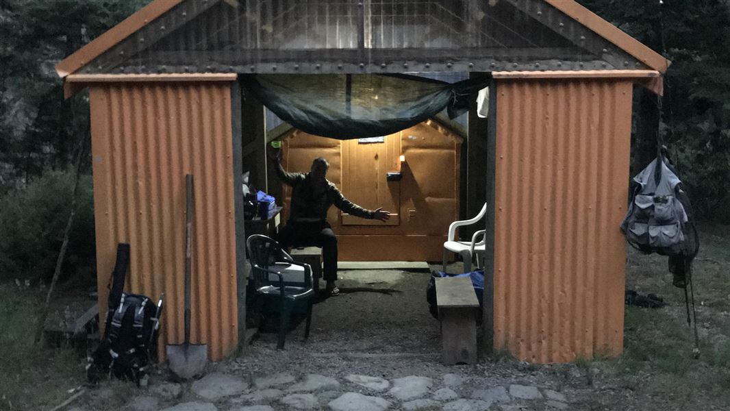
Omarukokere Bivvy
Basic/bivvies • 2 bunks • Hawke’s Bay • 2.9 km
Mattresses • Toilets - non-flush • Water from stream
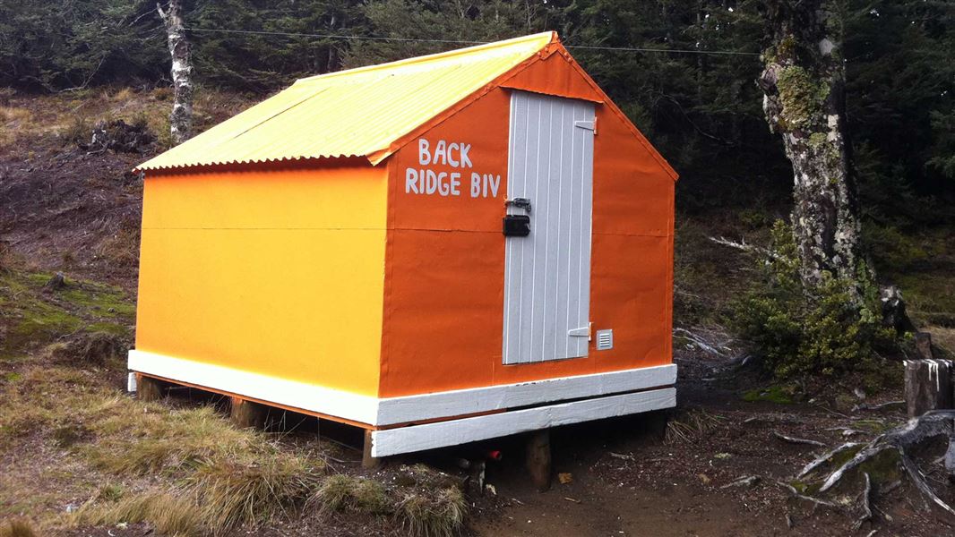
Back Ridge Bivouac
Basic/bivvies • 2 bunks • Hawke’s Bay • 3.4 km
Mattresses • Toilets - non-flush • Water from stream
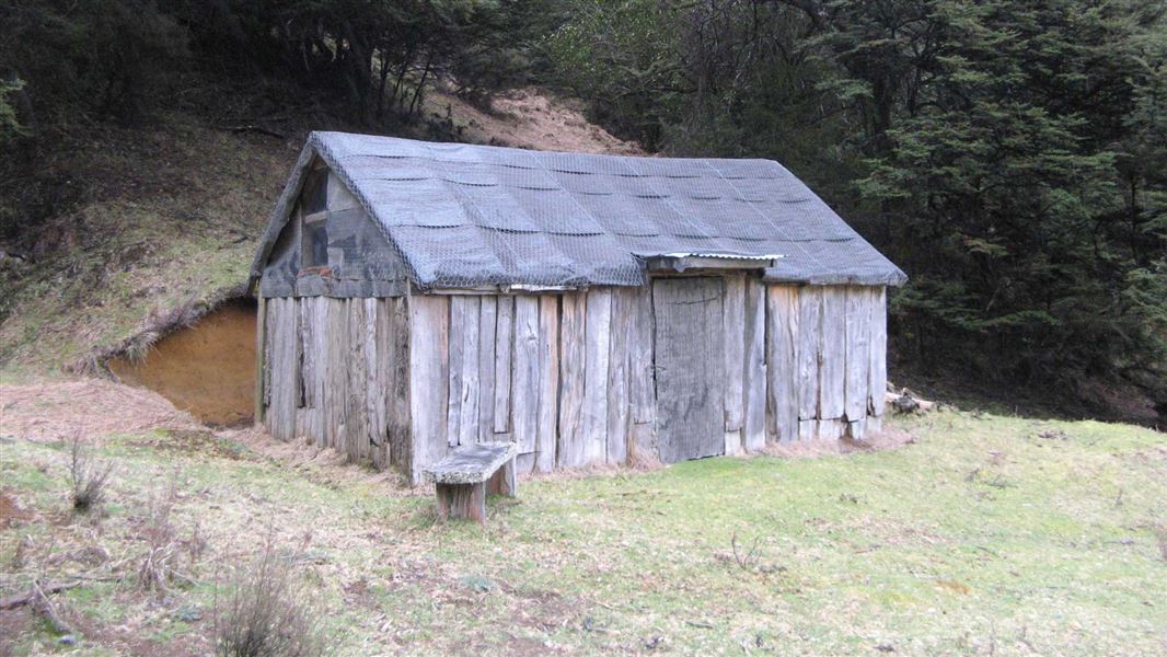
History Of Manson Hut
Basic/bivvies • 8 bunks • Hawke’s Bay • 3.7 km
Heating • Toilets - non-flush • Water from stream
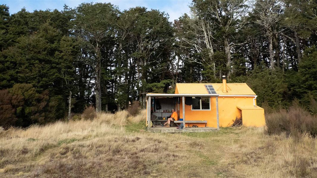
Manson Hut
Standard • 6 bunks • Hawke’s Bay • 3.8 km
Heating • Mattresses • Toilets - non-flush
All details
- Facilities
- MattressesToilets - non-flushWater from streamWater supply
- Bookable
- No
- Category
- Standard
- Location
- Kaweka Forest Park
- Fireplace
- Yes
- Mattress
- Yes
- Capacity
- 4
- Toilets
- Yes
- Drinking water
- No
- Reservations
- No
- Fee
- Yes
- Website
- This place on doc.govt.nz
- Source data
- View source data
Map
Map data © OpenStreetMap contributors.39.27547° S, 176.29546° E
Something not right?
Closed, moved, wrong facts, or you know something we do not. Change only what you know is wrong or missing; a person checks it before it goes live. Or email us about this place.
Sources
- DOC Huts (API) · CC BY 4.0Crown Copyright: Department of Conservation Te Papa Atawhai. Data sourced from the DOC Developer Portal (api.doc.govt.nz).
- DOC Huts · CC BY 4.0Data sourced from the Department of Conservation (DOC), New Zealand.
- OpenStreetMap Huts · ODbL (Open Database License)Contains information from OpenStreetMap, made available under the ODbL.