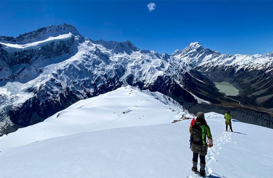
Sealy Tarns To Mueller Hut Track
TrackCanterburyDOC data as at 20 September 2026
About this place
This route provides a 360-degree panorama encompassing glaciers, ice cliffs, vertical rock faces and New Zealand’s highest peaks. Mountaineering experience, including using an ice axe, crampons and avalanche rescue equipment, is needed in winter, and sometimes in spring and autumn.
Nearby stops
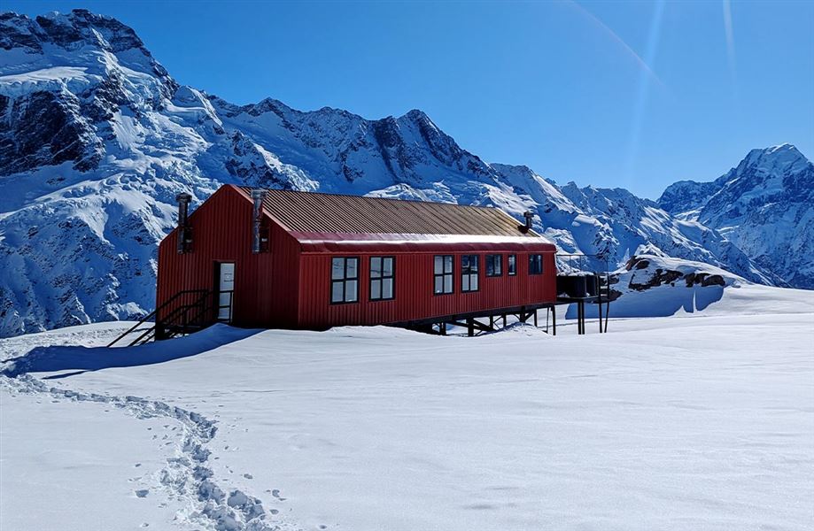
Mueller Hut
Serviced Alpine • 28 bunks • Canterbury • 1.1 km
Cooking • Mattresses • Lighting
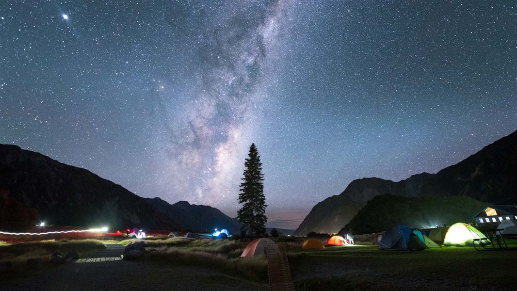
White Horse Hill Campground
Standard • Canterbury • 1.5 km
Non-powered/tent sites • Shelter for cooking • Toilets - flush
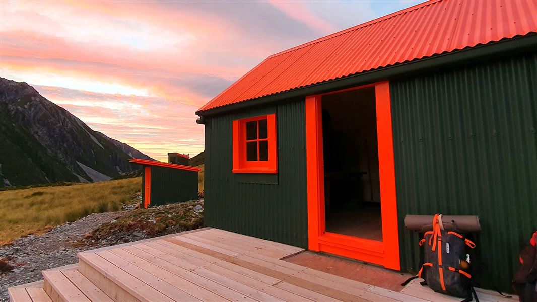
Hooker Hut
Serviced • 8 bunks • Canterbury • 2.2 km
Cooking • Heating • Mattresses
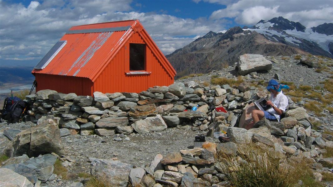
Sefton Bivouac
Basic/bivvies • 4 bunks • Canterbury • 2.9 km
Toilets - non-flush • Water from tap - not treated • boil before use
Bivouac site
Canterbury • 5 km
All details
- Dogs
- No Dogs
- Track type
- Tramping track
- Route
- One way
- Walking time
- Over 4 hours
- Distance
- 5.2 km
- Source data
- View source data
Map
Map data © OpenStreetMap contributors.43.71394° S, 170.07448° E
Something not right?
Closed, moved, wrong facts, or you know something we do not. Change only what you know is wrong or missing; a person checks it before it goes live. Or email us about this place.
Sources
- DOC Tracks (API) · CC BY 4.0Crown Copyright: Department of Conservation Te Papa Atawhai. Data sourced from the DOC Developer Portal (api.doc.govt.nz).
- DOC Tracks & Trails · CC BY 4.0Data sourced from the Department of Conservation (DOC), New Zealand.