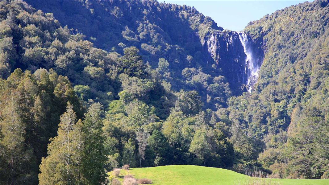
Wairere Falls track
TrackWaikatoDOC data as at 20 September 2026
About this place
Wairere Falls Track weaves its way through moss covered rocks and tree roots. Large round boulders form natural pools and cascading waterfalls.
Nearby stops
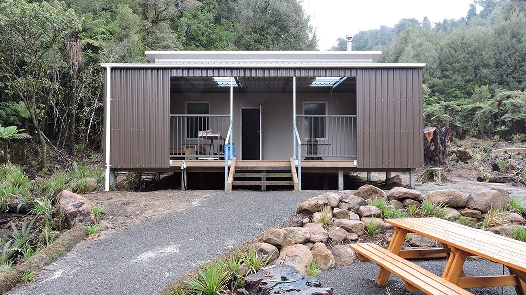
Te Whare Okioki
Serviced • 12 bunks • Bay of Plenty • 6 km
Heating • Mattresses • Lighting
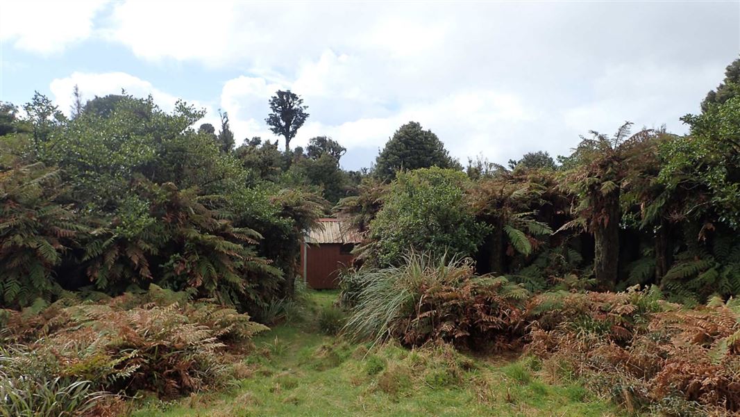
Mangamuka Hut
Basic/bivvies • 4 bunks • Bay of Plenty • 6.2 km
Heating • Mattresses • Toilets - non-flush
Opal Hot Springs & Holiday Park
Waikato • 6.6 km
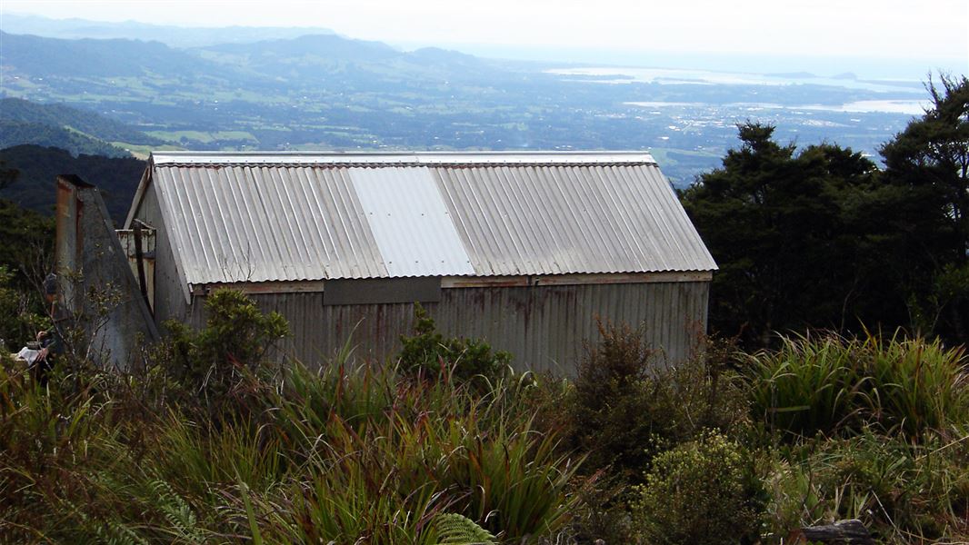
Kauritatahi Hut
Basic/bivvies • 3 bunks • Bay of Plenty • 7.9 km
Mattresses • Toilets - non-flush • Water from tap - not treated
Tōtara Springs Christian Centre
Waikato • 8.9 km
All details
- Dogs
- Dogs with a DOC permit for recreational hunting or management purposes only. Other pets on conservation land rules.
- Track type
- Easy
- Walking time
- 3–4 hr return via same track
- Distance
- 5 km
- Website
- This place on doc.govt.nz
- Source data
- View source data
Map
Map data © OpenStreetMap contributors.37.73555° S, 175.87317° E
Something not right?
Closed, moved, wrong facts, or you know something we do not. Change only what you know is wrong or missing; a person checks it before it goes live. Or email us about this place.
Sources
- DOC Tracks (API) · CC BY 4.0Crown Copyright: Department of Conservation Te Papa Atawhai. Data sourced from the DOC Developer Portal (api.doc.govt.nz).
- OpenStreetMap Trails · ODbL (Open Database License)Contains information from OpenStreetMap, made available under the ODbL.