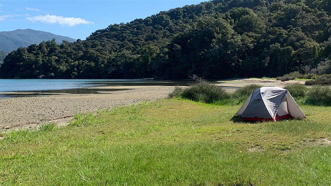
Davies Bay Campsite
Backcountry campsiteLocated in Queen Charlotte Sound/Tōtaranui area, MarlboroughDOC data as at 20 September 2026
About this place
Large waterfront site on a shallow bay great for boating and swimming. Choose a waterfront site or bush clearing to camp in. Walking, cycling or boat access only.
Know before you go
Fires
Fires are not permitted at any time.
Water safety
If you plan to enjoy the water, learn how to stay safe when swimming, boating and fishing .
Source: DOC Te Papa Atawhai.
Fees and bookings
The DOC Campsite Pass can be used at this campsite. Te Araroa – The Trail Pass Te Araroa Trail walkers should register and purchase the Te Araroa Trail Pass .
Bookings are open for stays up to 30 June 2027. If no availability shows online for your dates, the campsite is fully booked. No spaces are kept for campers arriving without a booking. Phone and in‑person bookings made at a visitor centre incur a $10 service fee. Same‑day bookings are available online until 8 pm if spaces remain. Book Davies Bay Campsite online . Book well in advance for the peak period from 1 December - 28 February and for public holiday weekends.
Source: DOC Te Papa Atawhai.
Contact
Nelson/Tasman/Marlborough information
Regional DOC service centre.
Nearby stops
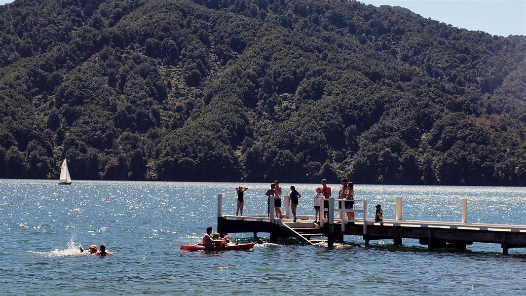
Momorangi Campsite
Serviced • Marlborough • 2 km
Boat launching • Cookers/electric stove • Jetty
Aussie Bay Campsite
Standard • Marlborough • 2.5 km
Non-powered/tent sites • Water from tap - not treated • boil before use
Mistletoe Camping Eco
Standard • Marlborough • 4.2 km
['BBQ' • 'Non-powered/tent sites' • 'Water from tap - treated
Smiths Farm Holiday Park
Marlborough • 6.1 km
Double Bay Reserve
Marlborough • 6.3 km
All details
- Facilities
- Non-powered/tent sitesShelter for cookingWater from tap - not treatedboil before useToilets - non-flushToiletsWater supply
- Activities
- BoatingKayaking and canoeingMountain bikingWalking and tramping
- Access
- BoatFootMountain bike
- Setting
- Coastal
- Unpowered sites
- 25
- Bookable
- Yes
- Category
- Backcountry
- Dogs
- No dogs.
- Location
- Located in Queen Charlotte Sound/Tōtaranui area
- Toilets
- Yes
- Drinking water
- untreated
- Reservations
- No
- Fee
- Yes
- Website
- This place on doc.govt.nz
- Source data
- View source data
Map and tracks
Track lines: DOC Te Papa Atawhai. Map data © OpenStreetMap contributors.41.25232° S, 173.94073° E
Something not right?
Closed, moved, wrong facts, or you know something we do not. Change only what you know is wrong or missing; a person checks it before it goes live. Or email us about this place.
Sources
- DOC Campsites (API) · CC BY 4.0Crown Copyright: Department of Conservation Te Papa Atawhai. Data sourced from the DOC Developer Portal (api.doc.govt.nz).
- OpenStreetMap Campsites · ODbL (Open Database License)Contains information from OpenStreetMap, made available under the ODbL.
- DOC Campsites · CC BY 4.0Data sourced from the Department of Conservation (DOC), New Zealand.