Mistletoe Camping Eco
Standard campsiteLocated in Queen Charlotte Sound/Tōtaranui area, MarlboroughDOC data as at 20 September 2026
About this place
This campsite is managed by Mistletoe Bay Eco Village.
Fees and bookings
Te Araroa – The Trail Pass Te Araroa Trail Pass
Book online on the Mistletoe Bay Eco Village website
Source: DOC Te Papa Atawhai.
Contact
Nelson/Tasman/Marlborough information
Regional DOC service centre.
Nearby stops
Ferndale Campsite
Backcountry • Marlborough • 3.6 km
Non-powered/tent sites • Water from tap - not treated • boil before use
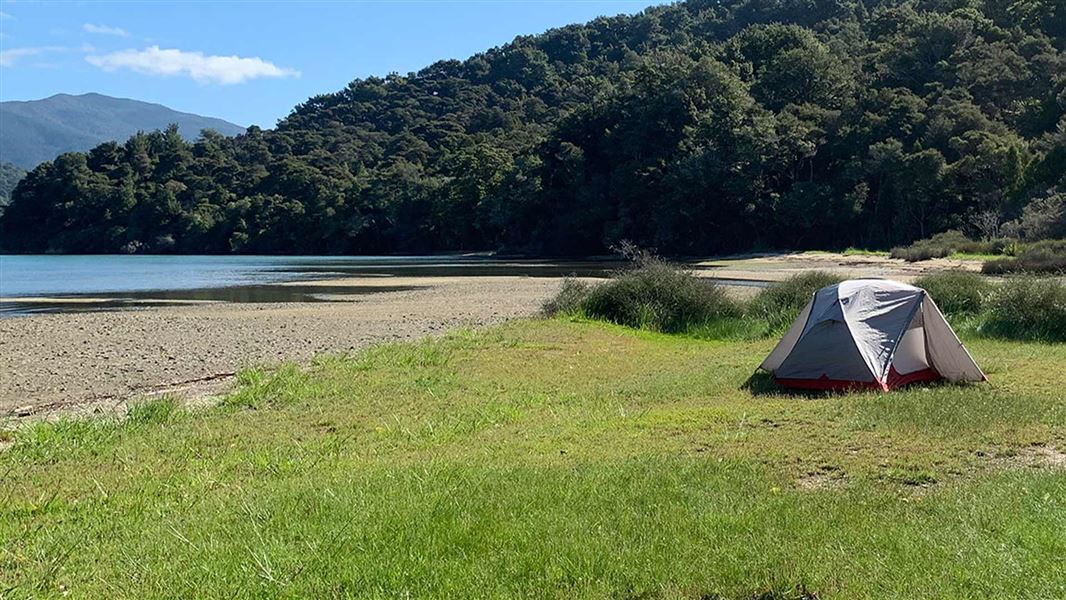
Davies Bay Campsite
Backcountry • Marlborough • 4.2 km
Non-powered/tent sites • Shelter for cooking • Water from tap - not treated
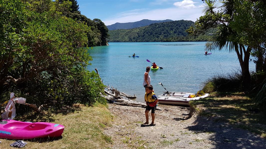
Cowshed Bay Campsite
Standard • Marlborough • 5.5 km
Non-powered/tent sites • Shelter for cooking • Shower - cold
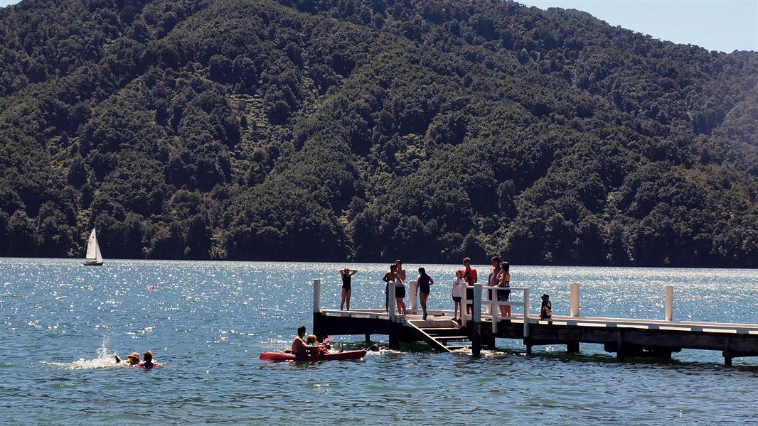
Momorangi Campsite
Serviced • Marlborough • 5.9 km
Boat launching • Cookers/electric stove • Jetty
Aussie Bay Campsite
Standard • Marlborough • 6.7 km
Non-powered/tent sites • Water from tap - not treated • boil before use
All details
- Facilities
- ['BBQ''Non-powered/tent sites''Water from tap - treatedsuitable for drinking''Toilets']
- Activities
- []
- Access
- ['Boat']
- Setting
- ['Coastal']
- Bookable
- Yes
- Category
- Standard
- Dogs
- No dogs. Other pets on conservation land rules.
- Location
- Located in Queen Charlotte Sound/Tōtaranui area
- Tents
- Yes
- Caravans
- Yes
- Toilets
- Yes
- Drinking water
- Yes
- Fee
- Yes
- Website
- mistletoebay.co.nz
- Source data
- View source data
Map and tracks
Track lines: DOC Te Papa Atawhai. Map data © OpenStreetMap contributors.41.22253° S, 173.97223° E
Something not right?
Closed, moved, wrong facts, or you know something we do not. Change only what you know is wrong or missing; a person checks it before it goes live. Or email us about this place.
Sources
- DOC Campsites (API) · CC BY 4.0Crown Copyright: Department of Conservation Te Papa Atawhai. Data sourced from the DOC Developer Portal (api.doc.govt.nz).
- OpenStreetMap Campsites · ODbL (Open Database License)Contains information from OpenStreetMap, made available under the ODbL.